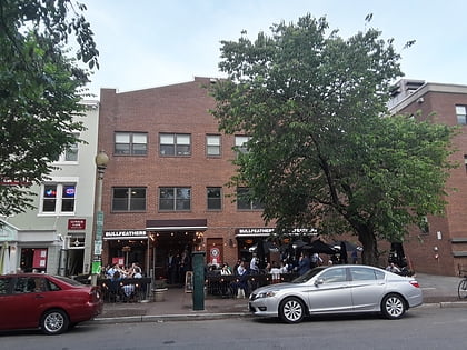
United States Capitol Complex, Washington D.C.
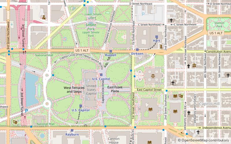
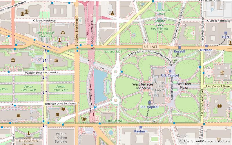
Map
Facts and practical information
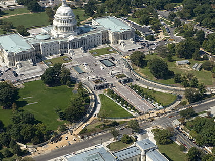
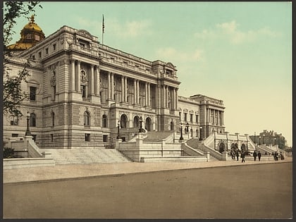
The United States Capitol Complex is a group of twenty buildings and facilities in Washington, D.C., that are used by the federal government of the United States. The buildings and grounds within the complex are managed and supervised by the Architect of the Capitol. ()
Address
Northwest Washington (Washington Mall)Washington D.C.
ContactAdd
Social media
Add
Day trips
United States Capitol Complex – popular in the area (distance from the attraction)
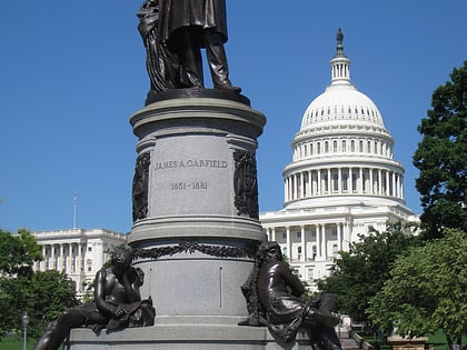
Nearby attractions include: United States Capitol, Statue of Freedom, United States Capitol Visitor Center, James A. Garfield Monument.
Frequently Asked Questions (FAQ)
Which popular attractions are close to United States Capitol Complex?
Nearby attractions include United States Senate Vice Presidential Bust Collection, Washington D.C. (1 min walk), Ohio Clock, Washington D.C. (3 min walk), National Statuary Hall Collection, Washington D.C. (4 min walk), United States Capitol, Washington D.C. (4 min walk).
How to get to United States Capitol Complex by public transport?
The nearest stations to United States Capitol Complex:
Train
Metro
Bus
Tram
Train
- Russell (3 min walk)
- U.S. Capitol (4 min walk)
Metro
- Capitol South • Lines: Bl, Or, Sv (11 min walk)
- Union Station • Lines: Rd (13 min walk)
Bus
- FlixBus Washington Union Station • Lines: 2601, 2602, 2668, N2610 (11 min walk)
- Greyhound (14 min walk)
Tram
- Union Station • Lines: H Street/Benning Road Streetcar (17 min walk)
- H Street & 8th Street Northeast • Lines: H Street/Benning Road Streetcar (24 min walk)


