Maurer, Perth Amboy

Map
Facts and practical information
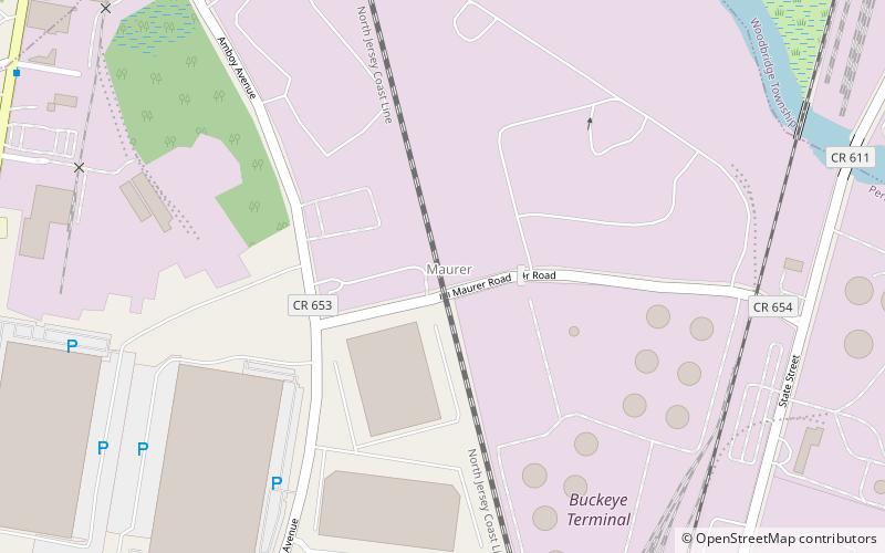
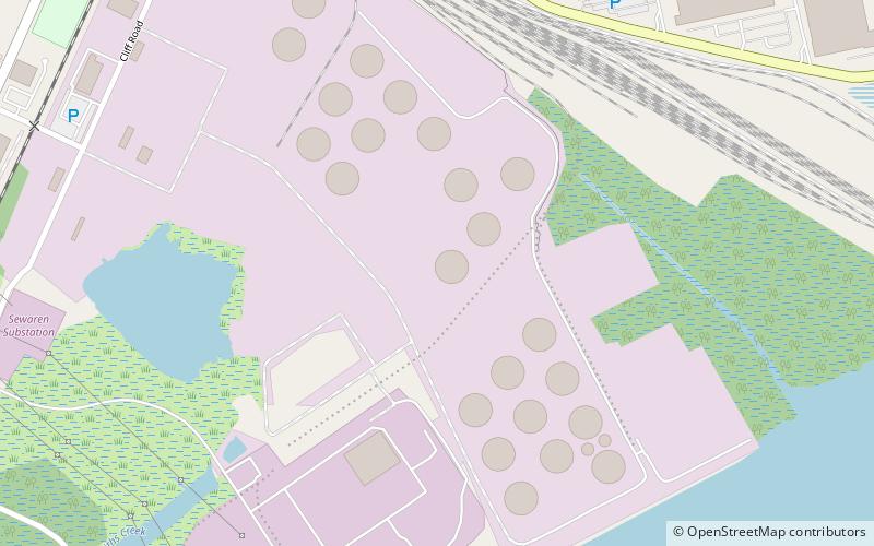
Maurer is residential neighbourhood and industrial district of Perth Amboy in Middlesex County, New Jersey, United States. Its name is derived from the "company town" built there in 1876. It is north of the Route 440 approach to the Outerbridge Crossing and south of the Perth Amboy Refinery, which began in 1920 as the Barber Asphalt Company. For a time it was known as Barber, a name which has fallen out of use ()
Coordinates: 40°32'13"N, 74°16'9"W
Address
Perth Amboy (Maurer)Perth Amboy
ContactAdd
Social media
Add
Day trips
Maurer – popular in the area (distance from the attraction)
Nearby attractions include: Woodbridge Center, Proprietary House, Simpson United Methodist Church, Victory Bridge.


