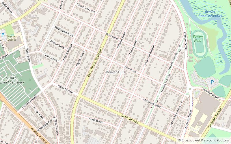
Beaver Hills, New Haven
Map
Facts and practical information
Beaver Hills is a neighborhood in the city of New Haven, Connecticut. The older, east central portion of the neighborhood is listed on the National Register of Historic Places as the Beaver Hills Historic District. The southwest portion is a state historic district called the Fairlawn-Nettleton Historic District. ()
Coordinates: 41°19'28"N, 72°56'46"W
Address
West New Haven (Beaver Hills)New Haven
ContactAdd
Social media
Add
Getting there by public transportation
Public transportation stops near this location
- Bus
 Bus
Bus
- Calculate routeStop & Shop 20 min walk
- Calculate routeChemestry 32 min walk
- Calculate routeBroadway/York 32 min walk
- Calculate routeGrove/Temple 39 min walk
Day trips


Frequently Asked Questions (FAQ)
Which popular attractions are close to Beaver Hills?
Nearby attractions include Beaver Hills Historic District, New Haven (4 min walk), Fairlawn–Nettleton Historic District, New Haven (8 min walk), Friends of Beaver Pond Park, New Haven (12 min walk), New Haven Armory, New Haven (14 min walk).
How to get to Beaver Hills by public transport?
The nearest stations to Beaver Hills:
Bus
Bus
- Stop & Shop • Lines: Blue Line (Weekend) (20 min walk)
- Chemestry • Lines: Blue Line (Day), Blue Line (Weekend), Orange Line (Day) (32 min walk)