Dry Creek Rockshelter, Boise
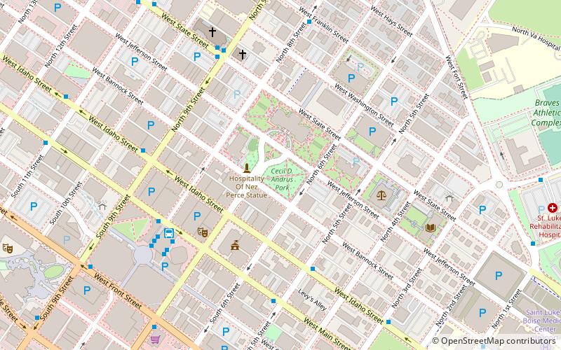
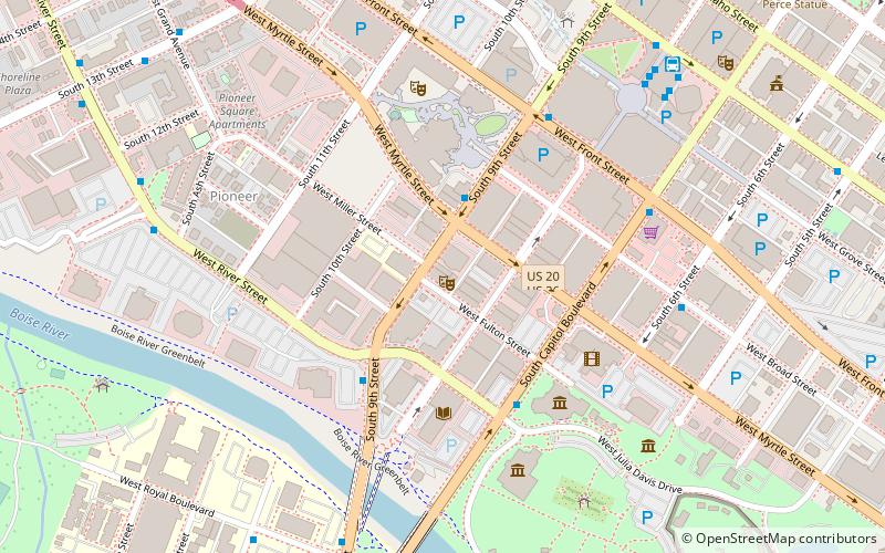
Map
Facts and practical information
Dry Creek Rockshelter near Boise, Idaho, is an archaeological site showing periodic use over approximately 3000 years. The site is located under a sandstone overhang, roughly 21 metres wide by 4 metres deep. The rockshelter is unique in that no other local sandstone outcrops are large enough for human habitation. The site was added to the National Register of Historic Places in 1991, and the site address is listed as restricted. ()
Coordinates: 43°36'60"N, 116°11'60"W
Address
Downtown Boise CityBoise
ContactAdd
Social media
Add
Getting there by public transportation
Public transportation stops near this location
- Bus
 Bus
Bus
- Calculate routeMain Street Station 5 min walk
- Calculate routeWest Main Street & South 5th Street SWC 5 min walk
- Calculate routeWest Main Street & North 8th Street SWC 6 min walk
- Calculate routeWest State Street & North 9th Street SWC 6 min walk
Day trips


Frequently Asked Questions (FAQ)
Which popular attractions are close to Dry Creek Rockshelter?
Nearby attractions include Boise Capitol Area District, Boise (1 min walk), Union Block and Montandon Buildings, Boise (2 min walk), Idaho State Capitol, Boise (2 min walk), The Egyptian Theatre, Boise (4 min walk).
How to get to Dry Creek Rockshelter by public transport?
The nearest stations to Dry Creek Rockshelter:
Bus
Bus
- Main Street Station (5 min walk)
- West Main Street & South 5th Street SWC • Lines: 2 (5 min walk)