University, Denver

Map
Facts and practical information
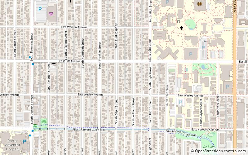
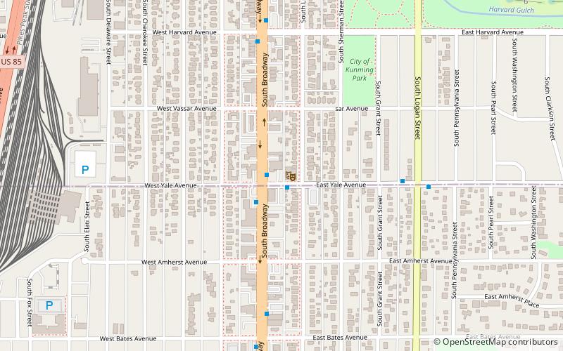
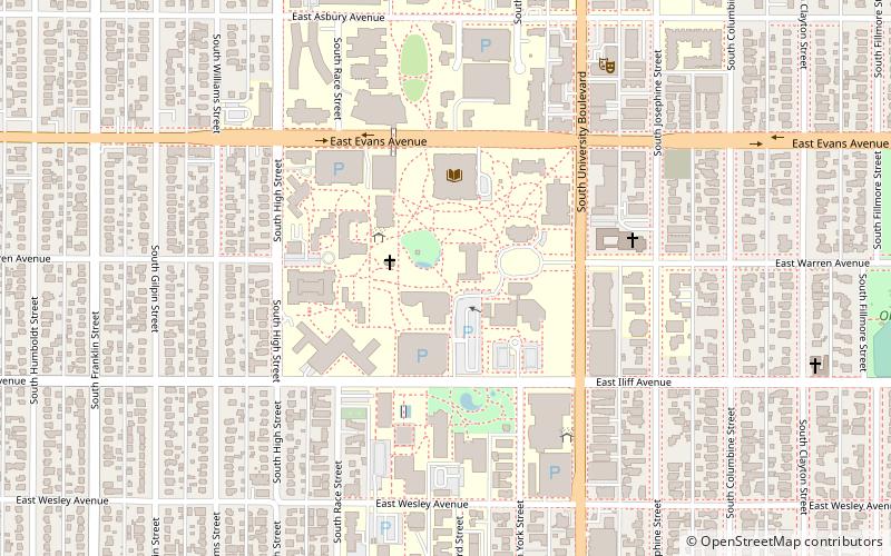
University is a neighborhood in Denver, Colorado. It is home to the University of Denver, many university students, and other residents and businesses, including the first Chipotle Mexican Grill. ()
Coordinates: 39°40'26"N, 104°58'1"W
Address
UniversityDenver
ContactAdd
Social media
Add
Day trips
University – popular in the area (distance from the attraction)
Nearby attractions include: Magness Arena, Gothic Theatre, Chamberlin Observatory, Evans Memorial Chapel.
Frequently Asked Questions (FAQ)
Which popular attractions are close to University?
Nearby attractions include Evans Memorial Chapel, Denver (8 min walk), Chester M. Alter Arboretum, Denver (9 min walk), University of Denver, Denver (9 min walk), Driscoll Student Center, Denver (11 min walk).
How to get to University by public transport?
The nearest stations to University:
Light rail
Bus
Light rail
- University of Denver • Lines: E, F, H (21 min walk)
Bus
- South Broadway & Iliff Avenue • Lines: (28 min walk)


