Rheem, Richmond

Map
Facts and practical information
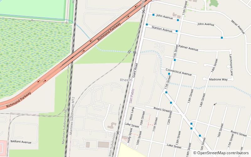
Rheem is a former unincorporated community now annexed to San Pablo in Contra Costa County, California. It lies on the BNSF Railway 2.5 miles north-northwest of downtown Richmond, an elevation of 26 feet. ()
Coordinates: 37°58'33"N, 122°21'16"W
Address
North RichmondRichmond
ContactAdd
Social media
Add
Day trips
Rheem – popular in the area (distance from the attraction)
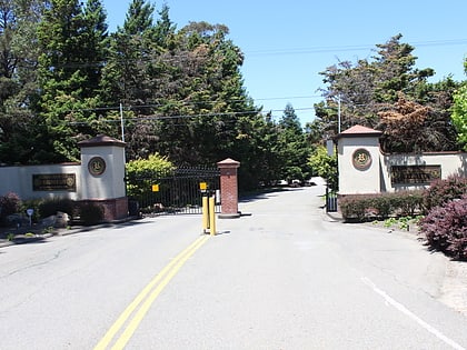
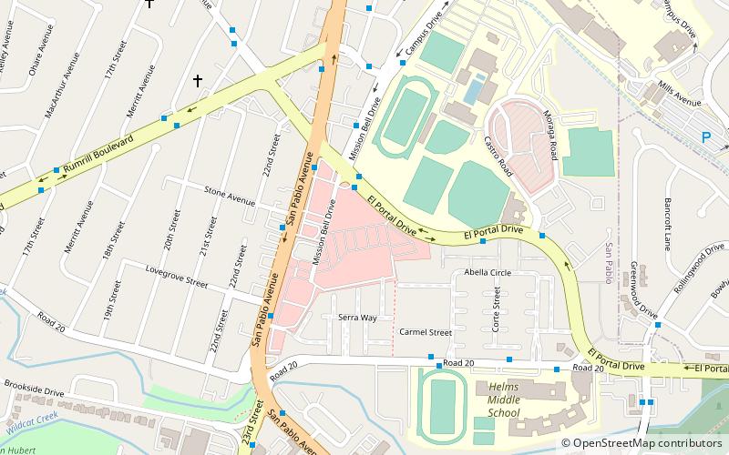
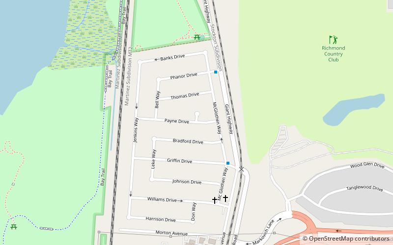
Nearby attractions include: Richmond Country Club, San Pablo, Abella Center, Breuner Marsh.
Frequently Asked Questions (FAQ)
Which popular attractions are close to Rheem?
Nearby attractions include Breuner Marsh, Richmond (17 min walk), Parchester Village, Richmond (19 min walk).
How to get to Rheem by public transport?
The nearest stations to Rheem:
Bus
Bus
- Broadway Avenue & 11th Street • Lines: 376, 71 (5 min walk)
- 3069 11th Street • Lines: 71 (5 min walk)


