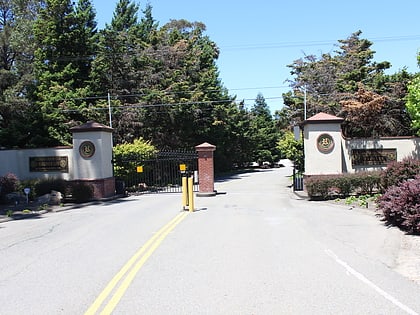
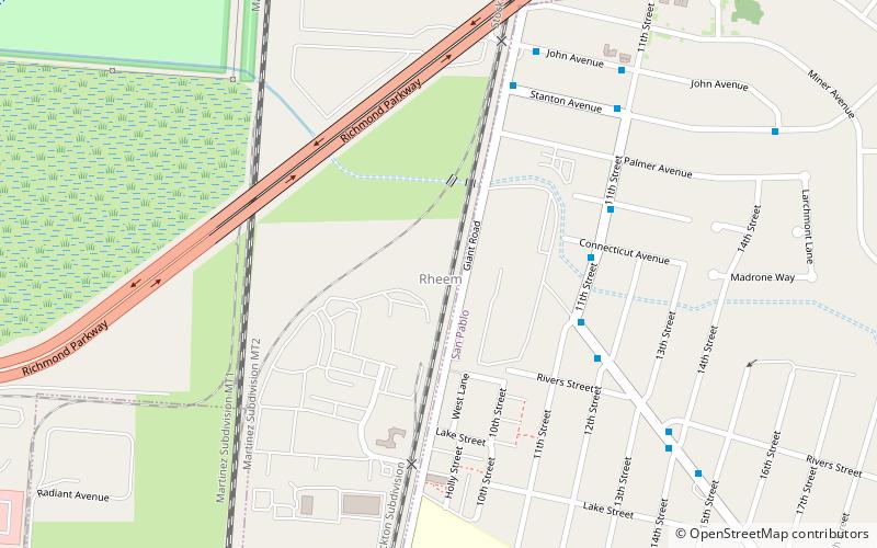
Richmond Country Club, Richmond
Map
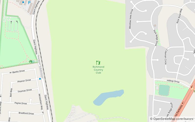
Map

Facts and practical information
The Richmond Country Club is a private social gathering place and sports facility for golf in the Hilltop District of Richmond, California, United States. ()
Coordinates: 37°59'21"N, 122°20'53"W
Address
Hilltop DistrictRichmond
ContactAdd
Social media
Add
Day trips
Richmond Country Club – popular in the area (distance from the attraction)
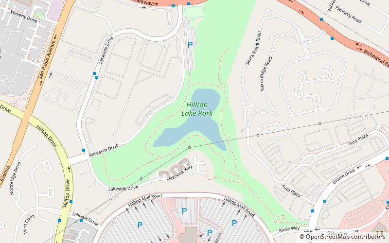
Nearby attractions include: Prologis Hilltop Center, Point Pinole Regional Shoreline, Hilltop Lake Park, Breuner Marsh.
Frequently Asked Questions (FAQ)
Which popular attractions are close to Richmond Country Club?
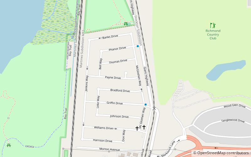
Nearby attractions include Parchester Village, Richmond (10 min walk), Point Pinole Regional Shoreline, Richmond (24 min walk).
How to get to Richmond Country Club by public transport?
The nearest stations to Richmond Country Club:
Bus
Bus
- Phanor Drive & McGlothen Way • Lines: 376, 71 (8 min walk)
- Griffin Drive & McGlothen Way • Lines: 376, 71 (10 min walk)
