Rochelle Park, New Rochelle

Map
Facts and practical information
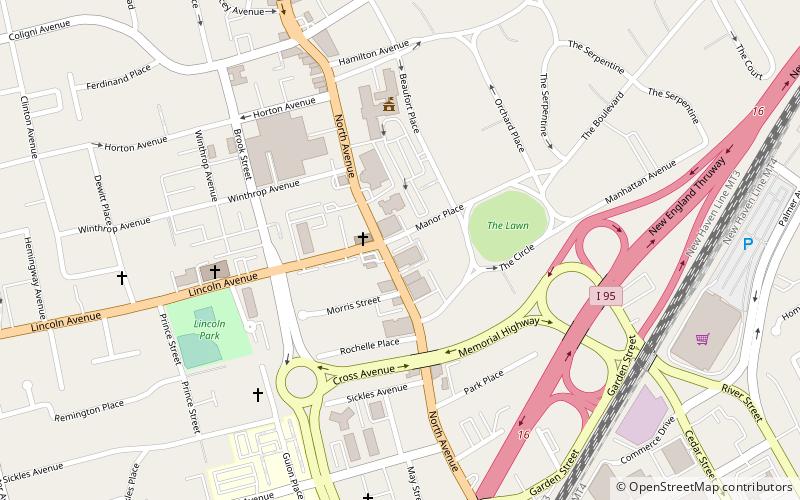
Rochelle Park is a historic residential neighborhood in the city of New Rochelle, in Westchester County, New York. The area is bordered by Rochelle Heights on the east, Interstate 95 on the south, New Rochelle City Hall and civic center on the west and Iona College on the north. The Rochelle Heights and Rochelle Park neighborhoods together create the Rochelle Park-Rochelle Heights Historic District. ()
Coordinates: 40°55'4"N, 73°47'8"W
Address
Downtown New RochelleNew Rochelle
ContactAdd
Social media
Add
Day trips
Rochelle Park – popular in the area (distance from the attraction)
Nearby attractions include: Beechwoods Cemetery, Thomas Paine Cottage, Trinity-St. Paul's Episcopal Church, Holy Sepulchre Cemetery.
Frequently Asked Questions (FAQ)
Which popular attractions are close to Rochelle Park?
Nearby attractions include Trump Plaza, New Rochelle (11 min walk), St. Gabriel's Church, New Rochelle (12 min walk), Church of the Holy Family, New Rochelle (14 min walk), Rochelle Park–Rochelle Heights Historic District, New Rochelle (14 min walk).
How to get to Rochelle Park by public transport?
The nearest stations to Rochelle Park:
Train
Train
- New Rochelle (12 min walk)


