Ivy City, Washington D.C.
Facts and practical information
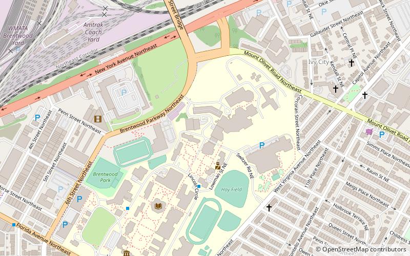
Ivy City is a small neighborhood in Northeast Washington, D.C., in the United States. About half the neighborhood is industrial or formerly industrial, dominated by warehouses. The Ivy City Yard, a railroad coach yard and maintenance facility for the passenger railroad Amtrak, is situated northwest across New York Avenue NE. Ivy City was laid out as a suburban development for African Americans in 1873. Development was slow. From 1879 to 1901, the neighborhood hosted the Ivy City Racetrack, a major horse racing facility in the District of Columbia. Construction on the rail yard began in 1907 and was complete within a year, although much of the facilities there were demolished in 1953 and 1954 as railroads switched from coal-fired locomotives to diesel-fueled or electric engines. The Alexander Crummell School, a major focal point of the community, opened in 1911. After some years of enrollment decline, it closed in 1972 but has not been demolished. The area has undergone some gentrification in the 21st century, although people living in the residential core of Ivy City remain very poor and unemployment is high. ()
Northeast Washington (Trinidad - Langston)Washington D.C.
- Metro
- Bus
- Tram
- Train
 Metro
Metro
- Calculate routeNoMa–Gallaudet U 17 min walk
- Calculate routeRhode Island Avenue–Brentwood 21 min walk
- Calculate routeH Street & 8th Street Northeast 18 min walk
- Calculate routeBenning Road & 15th Street Northeast 22 min walk
- Calculate routeF 19 min walk
- Calculate routeE 19 min walk
- Calculate routeD 19 min walk
- Calculate routeC 19 min walk
- Calculate routeWashington Union Station 29 min walk
- Calculate routeHart 35 min walk


Frequently Asked Questions (FAQ)
Which popular attractions are close to Ivy City?
How to get to Ivy City by public transport?
Metro
- NoMa–Gallaudet U • Lines: Rd (17 min walk)
- Rhode Island Avenue–Brentwood • Lines: Rd (21 min walk)
Tram
- H Street & 8th Street Northeast • Lines: H Street/Benning Road Streetcar (18 min walk)
- Benning Road & 15th Street Northeast • Lines: H Street/Benning Road Streetcar (22 min walk)
Bus
- F • Lines: B8, B9, G8 (19 min walk)
- E • Lines: 83, 86 (19 min walk)
Train
- Washington Union Station (29 min walk)
- Hart (35 min walk)