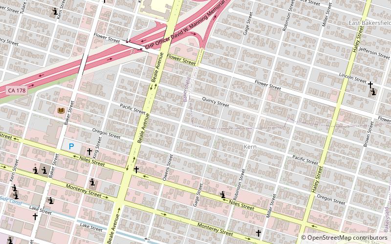
East Bakersfield, Bakersfield
Map
Facts and practical information
East Bakersfield is a region in Bakersfield, California directly east of downtown. The region was formerly known as the town of Sumner, which was later incorporated and renamed Kern City. It is primarily a mixture of residential and commercial developments. It also contains a small business district centered on the intersection of Baker and Sumner streets. Census data is provided on the right for the time period when the region was an independent town and city. It is part of the Bakersfield urban area of almost 500,000 people. ()
Area: 4 mi²Coordinates: 35°22'59"N, 118°59'6"W
Address
East BakersfieldBakersfield
ContactAdd
Social media
Add
Day trips


Frequently Asked Questions (FAQ)
Which popular attractions are close to East Bakersfield?
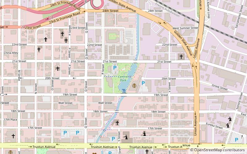
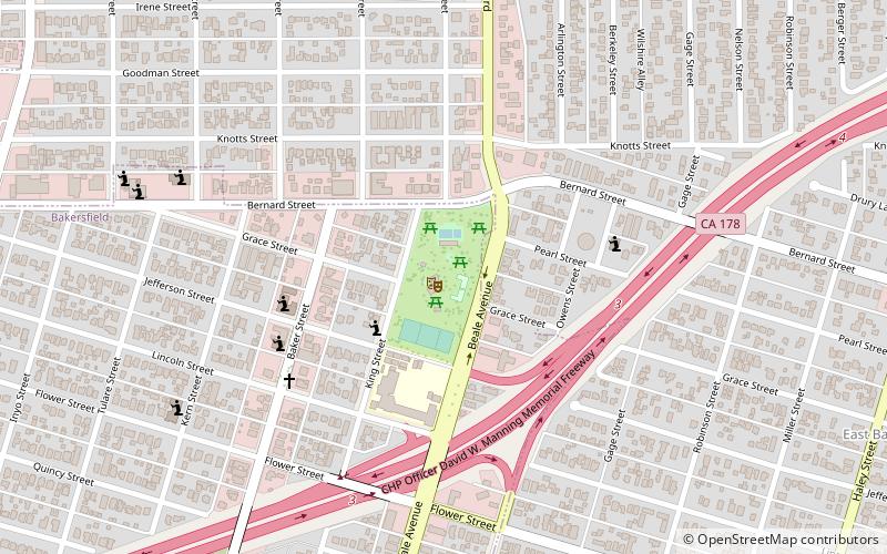
Nearby attractions include Kern Branch, Bakersfield (9 min walk), Jefferson Park, Bakersfield (11 min walk).