Municipal Light Plant, Columbus
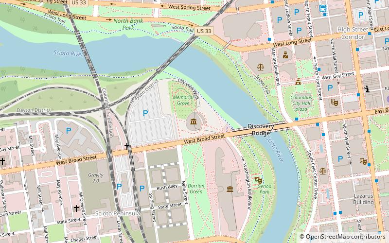
Map
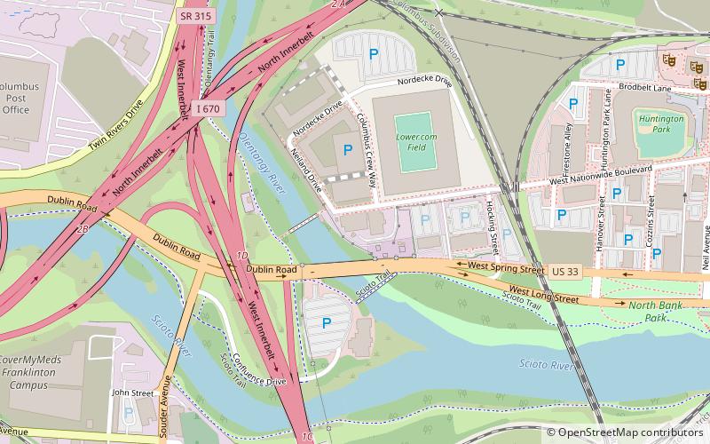
Map

Facts and practical information
The Municipal Light Plant is a historic building in the Arena District of Downtown Columbus, Ohio. It was listed on the National Register of Historic Places in 2015. The structure includes an early 20th century Romanesque Revival building and a mid-20th century Art Deco addition. ()
Coordinates: 39°58'1"N, 83°1'6"W
Address
Downtown ColumbusColumbus
ContactAdd
Social media
Add
Day trips
Municipal Light Plant – popular in the area (distance from the attraction)
Nearby attractions include: North Market, National Veterans Memorial and Museum, Battelle Riverfront Park, Nationwide Arena.
Frequently Asked Questions (FAQ)
Which popular attractions are close to Municipal Light Plant?
Nearby attractions include Jaeger Machine Company Office Building, Columbus (3 min walk), Old Franklinton Cemetery, Columbus (9 min walk), The Condominiums at North Bank Park, Columbus (12 min walk), Express Live!, Columbus (13 min walk).
How to get to Municipal Light Plant by public transport?
The nearest stations to Municipal Light Plant:
Bus
Bus
- Neil Ave & Broadbelt Ln • Lines: 3, 8 (13 min walk)
- 582 W Goodale St • Lines: 3 (13 min walk)

