Taylor-Berry, Louisville
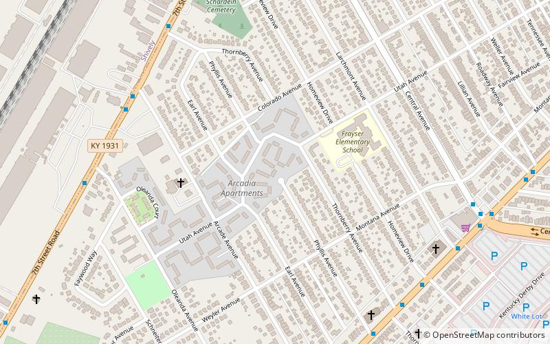
Map
Facts and practical information
Taylor-Berry is a neighborhood in Louisville, Kentucky, United States. ()
Coordinates: 38°12'27"N, 85°46'58"W
Address
South Side (Taylor Berry)Louisville
ContactAdd
Social media
Add
Getting there by public transportation
Public transportation stops near this location
- Bus
 Bus
Bus
- Calculate route7th / Arcade 7 min walk
- Calculate route7th / Phyllis 8 min walk
- Calculate routeTaylor / Thornberry 8 min walk
- Calculate routeTaylor / Homeview 8 min walk
Day trips


Frequently Asked Questions (FAQ)
Which popular attractions are close to Taylor-Berry?
Nearby attractions include Kentucky Derby Museum, Louisville (17 min walk), Churchill Downs, Louisville (20 min walk), South Louisville, Louisville (21 min walk).
How to get to Taylor-Berry by public transport?
The nearest stations to Taylor-Berry:
Bus
Bus
- 7th / Arcade • Lines: 63North, 63North-alt, 63South, 63South-alt (7 min walk)
- 7th / Phyllis • Lines: 63North, 63North-alt, 63South, 63South-alt (8 min walk)