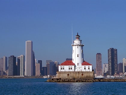
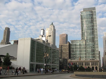
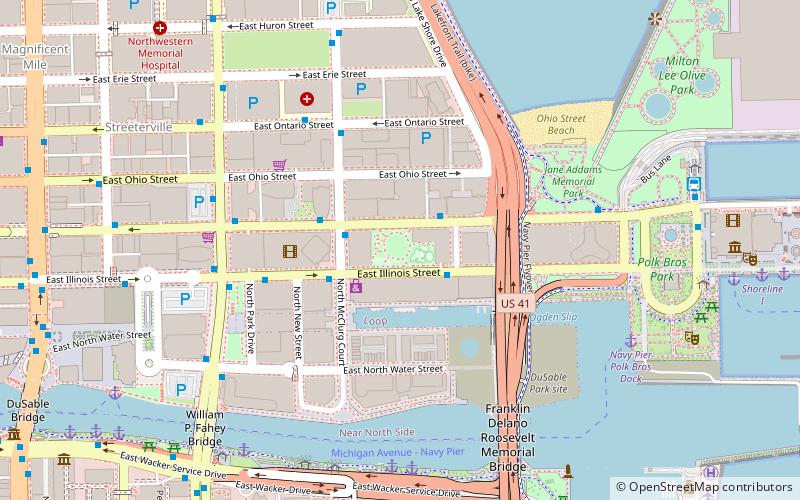
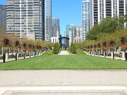
Chicago Harbor, Chicago
Map
Gallery
Facts and practical information
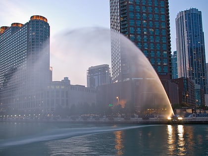
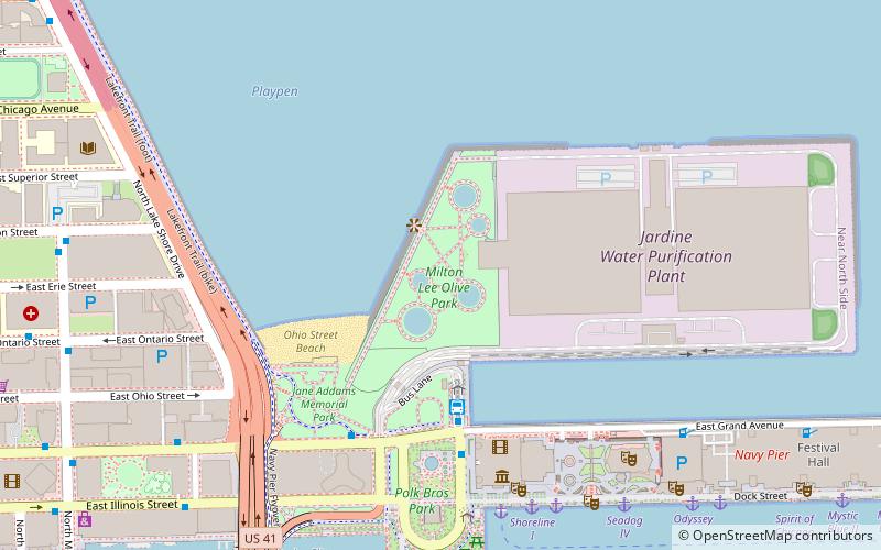
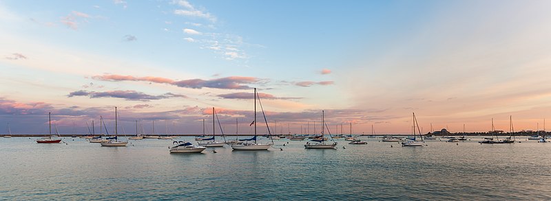
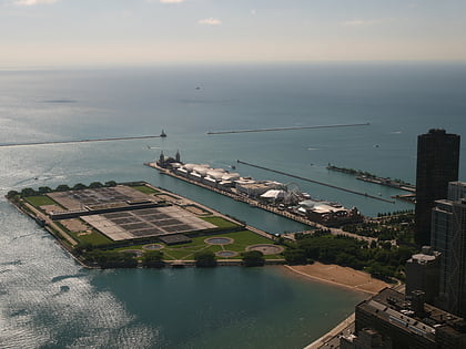
Generally, the Chicago Harbor comprises the public rivers, canals, and lakes within the territorial limits of the City of Chicago and all connecting slips, basins, piers, breakwaters, and permanent structures therein for a distance of three miles from the shore between the extended north and south lines of the city. The greater Chicago Harbor includes portions of the Chicago River, the Calumet River, the Ogden Canal, the Chicago Sanitary and Ship Canal, Lake Calumet, and Lake Michigan. ()
Coordinates: 41°53'9"N, 87°36'10"W
Address
Chicago
ContactAdd
Social media
Add
Day trips
Chicago Harbor – popular in the area (distance from the attraction)
Nearby attractions include: Chicago Children's Museum, Navy Pier, Chicago Harbor Light, Maggie Daley Park.
Frequently Asked Questions (FAQ)
Which popular attractions are close to Chicago Harbor?
Nearby attractions include Navy Pier, Chicago (11 min walk), Chicago Shakespeare Theater, Chicago (11 min walk), Chicago Children's Museum, Chicago (13 min walk), DuSable Park, Chicago (16 min walk).
How to get to Chicago Harbor by public transport?
The nearest stations to Chicago Harbor:
Bus
Train
Bus
- Navy Pier Terminal • Lines: 124, 29, 65, 66 (15 min walk)
- Illinois & Lake Shore Drive • Lines: 124, 2, 29, 65, 66 (16 min walk)
Train
- Millennium Station (28 min walk)
- Van Buren Street (31 min walk)
 Rail "L"

