West Flagler, Miami

Map
Facts and practical information
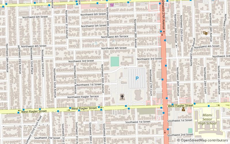
West Flagler is a neighborhood in Miami, Florida, United States, bisected by Flagler Street. It is roughly located north of the Tamiami Trail and south of North Seventh Street, between State Road 9 to the east and LeJeune Road to the west. ()
Coordinates: 25°46'29"N, 80°14'34"W
Address
West Miami (West Flagler)Miami
ContactAdd
Social media
Add
Day trips
West Flagler – popular in the area (distance from the attraction)
Nearby attractions include: E. G. Sewell Park, Bay of Pigs Museum, Woodlawn Park Cemetery, Grapeland Heights.
Frequently Asked Questions (FAQ)
How to get to West Flagler by public transport?
The nearest stations to West Flagler:
Bus
Bus
- West Flagler Street & West 29th Avenue • Lines: 11 (5 min walk)
- Northwest 27th Avenue & Northwest 1st Street • Lines: 27, 27/27A (6 min walk)


