Grapeland Heights, Miami

Map
Facts and practical information
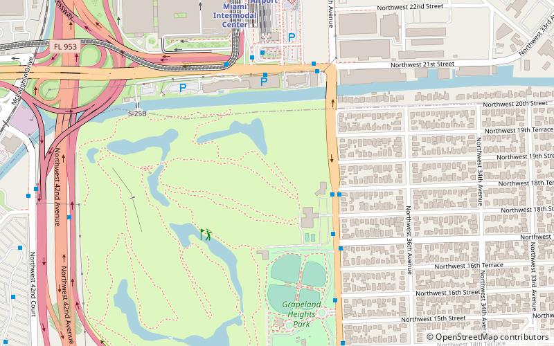
Grapeland Heights is a neighborhood in the city of Miami, Florida, United States. It is just east of Miami International Airport and north of Miami's West Flagler neighborhood. It is primarily a single-family residential neighborhood with a significant maritime industry along the neighborhood's eastern end along the Miami River. ()
Coordinates: 25°47'31"N, 80°15'28"W
Address
West Miami (Grapeland Heights)Miami
ContactAdd
Social media
Add
Day trips
Grapeland Heights – popular in the area (distance from the attraction)
Nearby attractions include: Casino Miami, Tamiami Canal, West Flagler, Magic City Casino.
Frequently Asked Questions (FAQ)
How to get to Grapeland Heights by public transport?
The nearest stations to Grapeland Heights:
Bus
Train
Metro
Bus
- Northwest 37th Avenue & Northwest 18th Terrace • Lines: 238, 37 (4 min walk)
- FlixBus Miami International Airport • Lines: 2410, 2411, 2421 (7 min walk)
Train
- Miami Intermodal Center (9 min walk)
- Miami Airport (10 min walk)
Metro
- Miami International Airport • Lines: Orange (11 min walk)


