Merritt Woods Historic District, Battle Creek
Map

Map

Facts and practical information
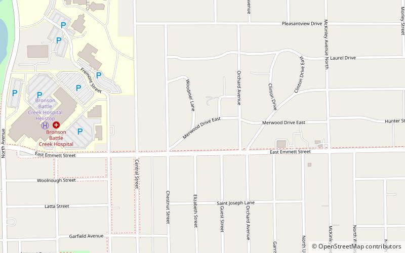
The Merritt Woods Historic District is a residential historic district, roughly bounded by Orchard Street, Emmett Street, Chestnut Street, and the northernmost parts of Woodmer Drive and Crest Drive in Battle Creek, Michigan. It was listed on the National Register of Historic Places in 1994. ()
Coordinates: 42°19'51"N, 85°10'19"W
Address
Battle Creek
ContactAdd
Social media
Add
Day trips
Merritt Woods Historic District – popular in the area (distance from the attraction)
Nearby attractions include: The Rink Battle Creek, C. O. Brown Stadium, Battle Creek City Hall, City Hall Historic District.
Frequently Asked Questions (FAQ)
Which popular attractions are close to Merritt Woods Historic District?
Nearby attractions include Kellogg Community College, Battle Creek (12 min walk), Maple Street Historic District, Battle Creek (15 min walk), Van Buren Street Historic District, Battle Creek (19 min walk).
How to get to Merritt Woods Historic District by public transport?
The nearest stations to Merritt Woods Historic District:
Train
Train
- Battle Creek (31 min walk)


