City Hall Historic District, Battle Creek
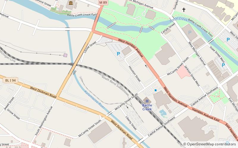
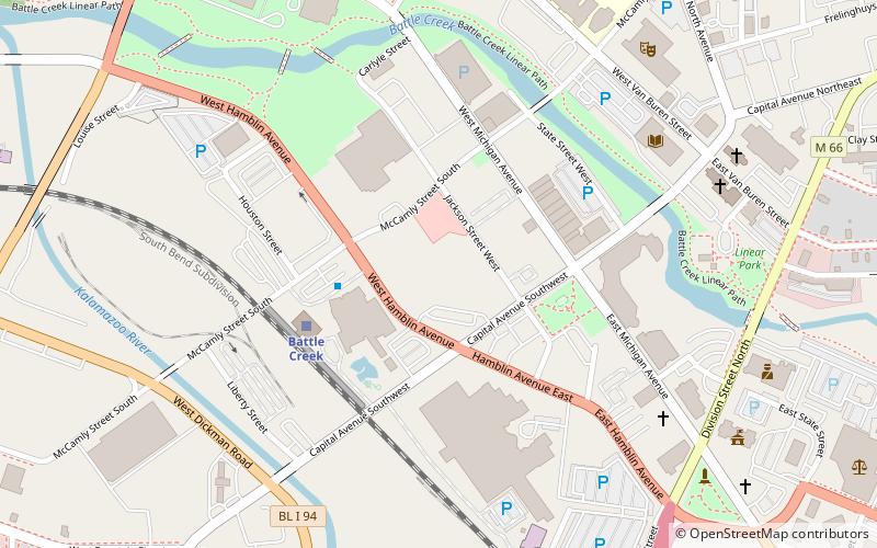
Map

Gallery

Facts and practical information
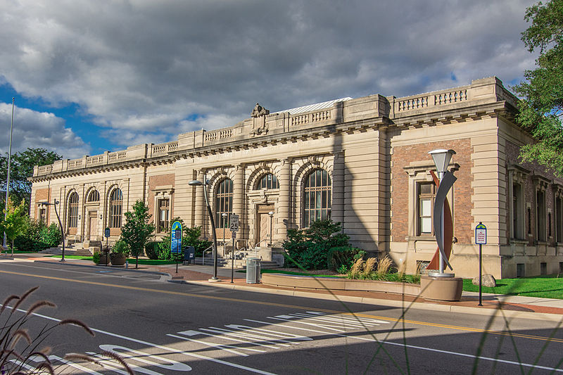
The City Hall Historic District is a commercial and municipal historic district located along East Michigan Avenue from Monroe to Jay Streets in Battle Creek, Michigan. It was listed on the National Register of Historic Places in 1996. ()
Area: 14 acres (0.0219 mi²)Coordinates: 42°19'1"N, 85°10'47"W
Address
Battle Creek
ContactAdd
Social media
Add
Day trips
City Hall Historic District – popular in the area (distance from the attraction)
Nearby attractions include: The Rink Battle Creek, Battle Creek City Hall, Van Buren Street Historic District, Maple Street Historic District.
Frequently Asked Questions (FAQ)
Which popular attractions are close to City Hall Historic District?
Nearby attractions include Battle Creek City Hall, Battle Creek (1 min walk), Van Buren Street Historic District, Battle Creek (11 min walk), Maple Street Historic District, Battle Creek (14 min walk).
How to get to City Hall Historic District by public transport?
The nearest stations to City Hall Historic District:
Train
Train
- Battle Creek (11 min walk)


