Fern Rock, Philadelphia
Map

Map

Facts and practical information
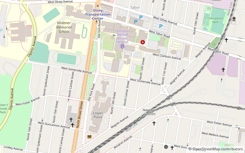
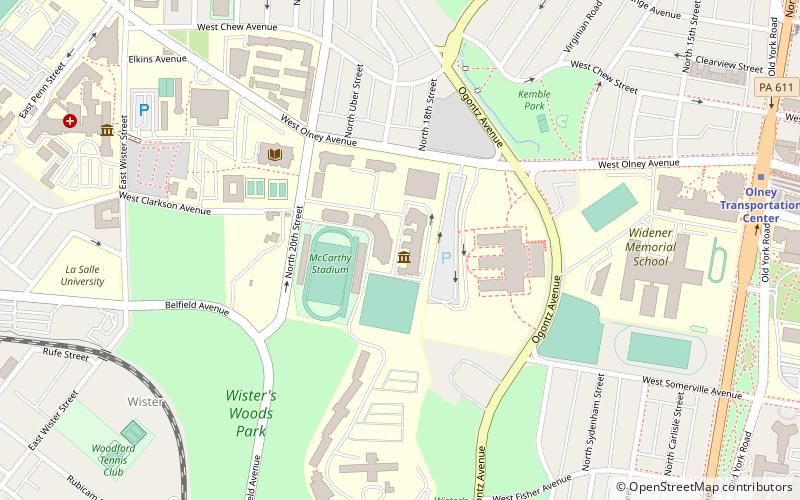
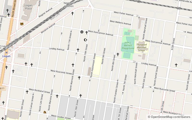
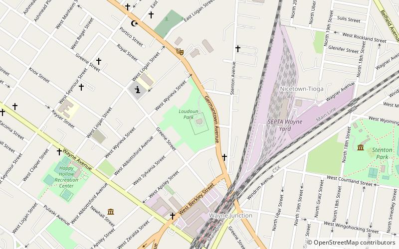
Fern Rock is a neighborhood in the upper North Philadelphia section of Philadelphia, Pennsylvania bounded by Olney to the east, Ogontz to the west, Logan to the south, and East Oak Lane to the north. It is approximately situated between Broad Street, Tabor Road, 7th Street, Godfrey Avenue and Fisher Park. Fern Rock borders Ogontz at Broad Street, Logan at Olney Avenue, East Oak Lane at Godfrey Avenue, and Olney at the train tracks. ()
Coordinates: 40°2'6"N, 75°8'35"W
Address
Upper North District (Logan)Philadelphia
ContactAdd
Social media
Add
Day trips
Fern Rock – popular in the area (distance from the attraction)
Nearby attractions include: La Salle University Art Museum, Stenton Mansion, Upsala Mansion, Charles Schaeffer School.
Frequently Asked Questions (FAQ)
Which popular attractions are close to Fern Rock?
Nearby attractions include Logan, Philadelphia (1 min walk), Henry S. Frank Memorial Synagogue, Philadelphia (4 min walk), Newtown Junction, Philadelphia (5 min walk), Julia Ward Howe School, Philadelphia (12 min walk).
How to get to Fern Rock by public transport?
The nearest stations to Fern Rock:
Bus
Metro
Train
Bus
- Olney Transportation Center (7 min walk)
Metro
- Olney Transportation Center • Lines: Bsl (8 min walk)
- Logan • Lines: Bsl (11 min walk)
Train
- Fern Rock Transportation Center (16 min walk)
- Wister (26 min walk)

 SEPTA Regional Rail


