Congress Street, Hartford
Map

Map

Facts and practical information
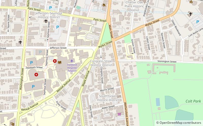
Congress Street is a city street in the South Green neighborhood of Hartford, Connecticut. Extending for a single block from the South Green to Morris Street, it was developed in the 1850s with modest two-family residences, with infill development of larger apartment blocks around the turn of the 20th century. The entire street was listed on the National Register of Historic Places in 1975 as a good example of a well-preserved late-19th century residential street. ()
Coordinates: 41°45'16"N, 72°40'34"W
Address
South GreenHartford
ContactAdd
Social media
Add
Day trips
Congress Street – popular in the area (distance from the attraction)
Nearby attractions include: XL Center, Wadsworth Atheneum, Connecticut Science Center, The Bushnell Center for the Performing Arts.
Frequently Asked Questions (FAQ)
Which popular attractions are close to Congress Street?
Nearby attractions include Coltsville Historic District, Hartford (3 min walk), Barnard Park, Hartford (4 min walk), Hartford Botanical Garden, Hartford (4 min walk), South Green Historic District, Hartford (4 min walk).
How to get to Congress Street by public transport?
The nearest stations to Congress Street:
Train
Bus
Train
- Hartford (27 min walk)
Bus
- Hartford Union Station (27 min walk)
- Hartford Megabus (27 min walk)


