Jacobs, Louisville
Map
Facts and practical information
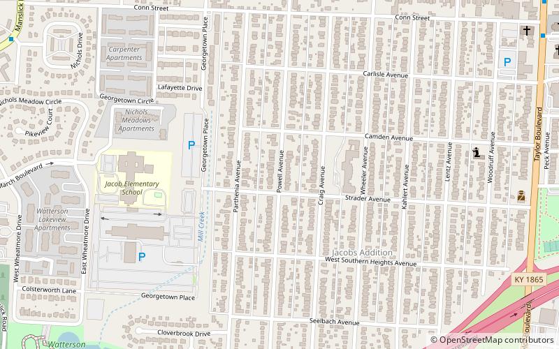
Jacobs is a neighborhood on the south side of Louisville, Kentucky, in the United States. Its boundaries are Berry Boulevard to the north, Taylor Boulevard to the east, the I-264 to the south, and Seventh Street to the west. It was developed as Jacob's Addition in 1892 after the opening of nearby Jacob's Park and named for four-time Louisville mayor Charles Donald Jacob. The area housed a veteran's hospital, Nichols General Hospital, until 1952. The area includes Manslick Cemetery, a burial ground for indigents started in the 1870s, and Watterson Lake Park. ()
Coordinates: 38°11'31"N, 85°47'28"W
Address
South Side (Jacobs)Louisville
ContactAdd
Social media
Add
Getting there by public transportation
Public transportation stops near this location
- Bus
 Bus
Bus
- Calculate routeBerry / Powell 9 min walk
Day trips


Frequently Asked Questions (FAQ)
How to get to Jacobs by public transport?
The nearest stations to Jacobs:
Bus
Bus
- Berry / Powell • Lines: 29East Bardstown Rd, 29East Oxmoor, 29West Bardstown Rd, 29West Oxmoor (9 min walk)