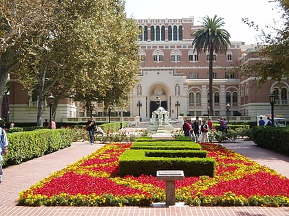
Zumberge Hall of Science, Los Angeles
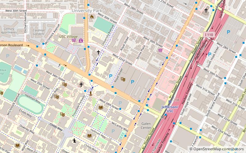
Map
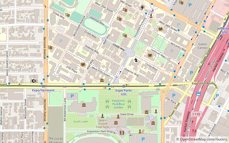
Map

Facts and practical information
Zumberge Hall of Science, commonly known as ZHS, is one of the original buildings of the University of Southern California's University Park Campus, completed in 1928. ()
Architectural style: Romanesque revivalCoordinates: 34°1'9"N, 118°17'11"W
Address
South Los Angeles (University Park)Los Angeles
ContactAdd
Social media
Add
Day trips
Zumberge Hall of Science – popular in the area (distance from the attraction)
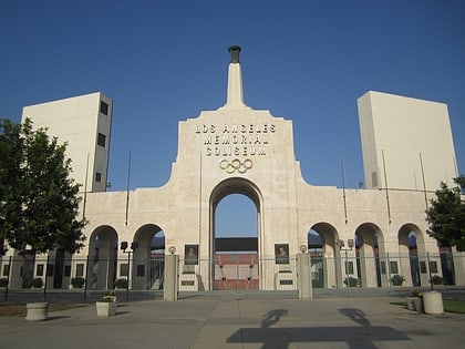
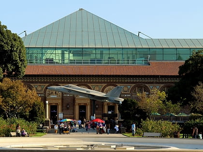
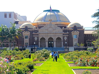
Nearby attractions include: Los Angeles Memorial Coliseum, Natural History Museum of Los Angeles County, California Science Center, Exposition Park Rose Garden.
Frequently Asked Questions (FAQ)
Which popular attractions are close to Zumberge Hall of Science?
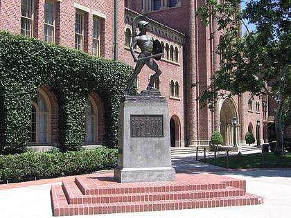
Nearby attractions include USC Fisher Museum of Art, Los Angeles (2 min walk), Tommy Trojan, Los Angeles (4 min walk), Alumni Park, Los Angeles (4 min walk), Exposition Park Rose Garden, Los Angeles (4 min walk).
How to get to Zumberge Hall of Science by public transport?
The nearest stations to Zumberge Hall of Science:
Light rail
Bus
Light rail
- Expo Park/USC • Lines: E (2 min walk)
- Expo/Vermont • Lines: E (8 min walk)
Bus
- Vermont & Exposition • Lines: 204, 550, 754 (8 min walk)
- Vermont & 36th • Lines: 204 (10 min walk)

 Metro & Regional Rail