Science Leadership Academy, Philadelphia
Map
Facts and practical information
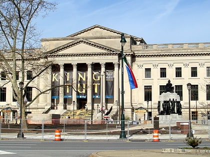
The Science Leadership Acadadamy is a magnet public high school in Philadelphia, Pennsylvania, which opened in September 2006. SLA is a partnership between The Franklin Institute and the School District of Philadelphia. SLA is a 1:4.3 project-based laptop school where all students and teachers use laptops as their primary learning tool. ()
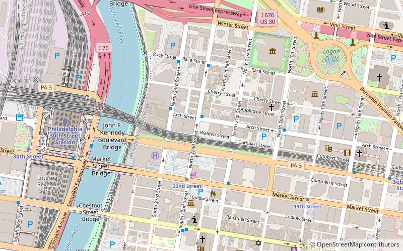
Coordinates: 39°57'21"N, 75°10'34"W
Day trips
Science Leadership Academy – popular in the area (distance from the attraction)
Nearby attractions include: Mütter Museum, Liberty Place, Franklin Institute, Academy of Natural Sciences of Drexel University.
Frequently Asked Questions (FAQ)
Which popular attractions are close to Science Leadership Academy?
Nearby attractions include Commerce Square, Philadelphia (5 min walk), Saint Clement's Church, Philadelphia (5 min walk), Mütter Museum, Philadelphia (5 min walk), College of Physicians of Philadelphia, Philadelphia (5 min walk).
How to get to Science Leadership Academy by public transport?
The nearest stations to Science Leadership Academy:
Tram
Train
Bus
Metro
Tram
- 22nd Street • Lines: 10, 11, 13, 34, 36 (4 min walk)
- 19th Street • Lines: 10, 11, 13, 34, 36 (8 min walk)
Train
- Philadelphia 30th Street Station (8 min walk)
- Suburban Station (13 min walk)
Bus
- Walnut St & 23rd St • Lines: 12, 9 (9 min walk)
- Bolt Bus (11 min walk)
Metro
- 30th Street • Lines: Mfl (11 min walk)
- 15th Street • Lines: Mfl (16 min walk)
 SEPTA Regional Rail
