Schuylkill Banks, Philadelphia
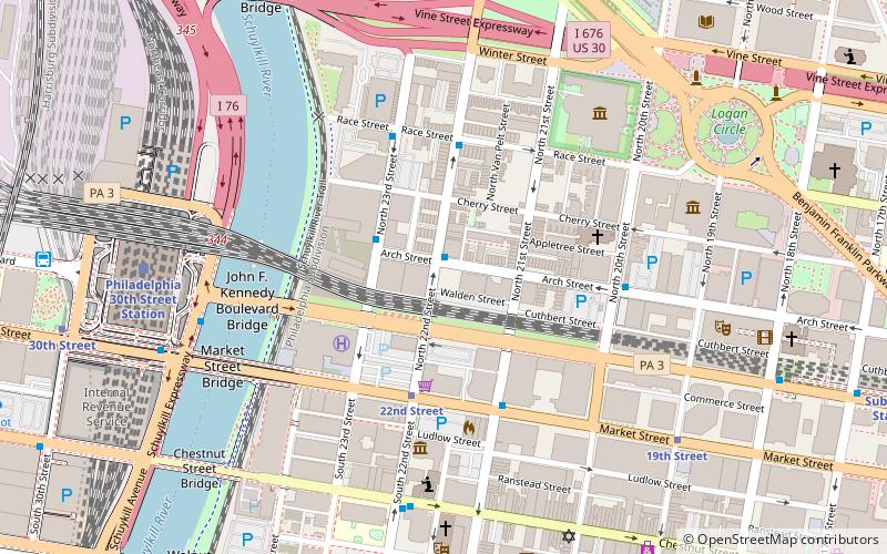
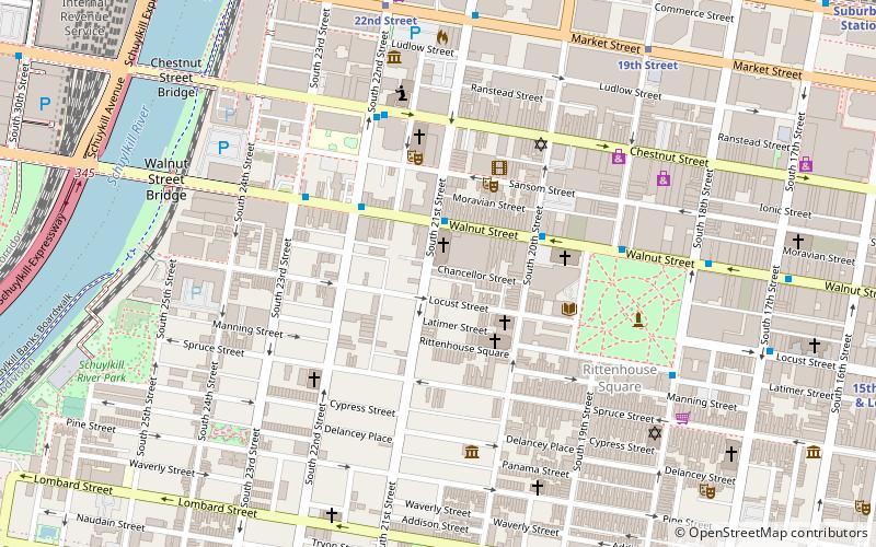
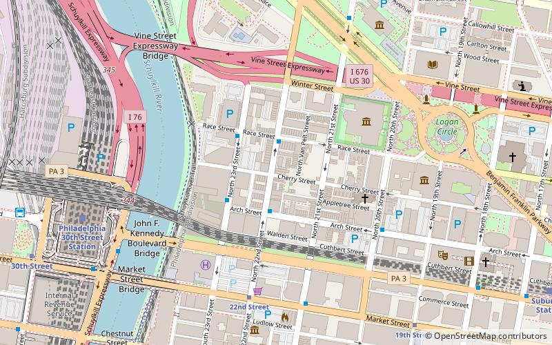
Map
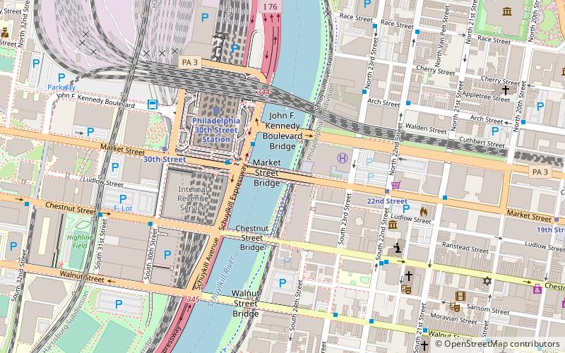
Map

Facts and practical information
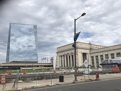
Schuylkill Yards is a $3.5 billion, masterplanned development project by Brandywine Realty Trust in West Philadelphia. The project was announced in a press conference in March 2016. The project is being designed in phases. Groundbreaking occurred in late 2017, and the first piece—a public park called Drexel Square—was delivered in June 2019. ()
Elevation: 3 ft a.s.l.Coordinates: 39°57'16"N, 75°10'48"W
Day trips
Schuylkill Banks – popular in the area (distance from the attraction)
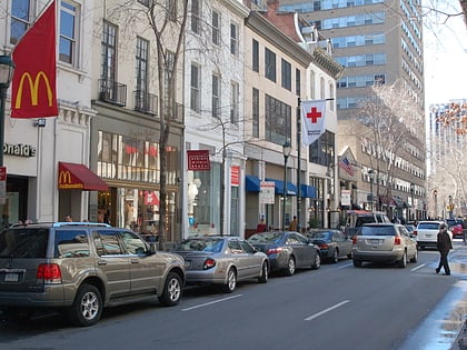
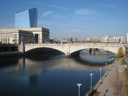
Nearby attractions include: Walnut Street, Mütter Museum, Cira Centre, Market Street Bridge.
Frequently Asked Questions (FAQ)
Which popular attractions are close to Schuylkill Banks?
Nearby attractions include Market Street Bridge, Philadelphia (1 min walk), John F. Kennedy Boulevard Bridge, Philadelphia (2 min walk), Chestnut Street, Philadelphia (3 min walk), Chestnut Street Bridge, Philadelphia (3 min walk).
How to get to Schuylkill Banks by public transport?
The nearest stations to Schuylkill Banks:
Train
Tram
Metro
Bus
Train
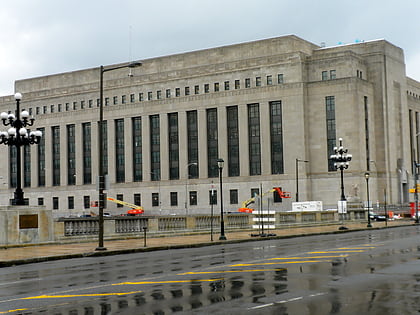
- Philadelphia 30th Street Station (4 min walk)
- Suburban Station (17 min walk)
Tram
- 22nd Street • Lines: 10, 11, 13, 34, 36 (5 min walk)
- 30th Street • Lines: 10, 11, 13, 34, 36 (6 min walk)
Metro
- 30th Street • Lines: Mfl (6 min walk)
- 34th Street • Lines: Mfl (16 min walk)
Bus
- Bolt Bus (7 min walk)
- Walnut St & 23rd St • Lines: 12, 9 (7 min walk)
 SEPTA Regional Rail