Utah State Library, Salt Lake City

Gallery (1)
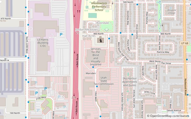
Map
Map
Facts and practical information
The Utah State Library in Salt Lake City, Utah is a division of the Utah Department of Heritage and Arts. ()
Coordinates: 40°46'35"N, 111°56'51"W
Address
Northwest Salt Lake City (Jordan Meadows)Salt Lake City
ContactAdd
Social media
Add
Getting there by public transportation
Public transportation stops near this location
- Light rail
 Light rail
- Calculate route1940 West North Temple 9 min walk
- Calculate routePower 20 min walk
Day trips


Frequently Asked Questions (FAQ)
How to get to Utah State Library by public transport?
The nearest stations to Utah State Library:
Light rail
Light rail
- 1940 West North Temple • Lines: 704 (9 min walk)
- Power • Lines: 704 (20 min walk)