East Hills, Pittsburgh

Map
Facts and practical information
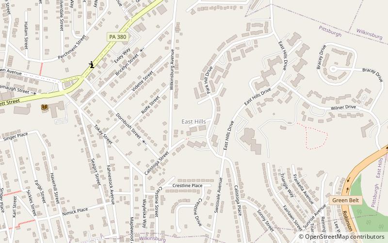
East Hills is a neighborhood in the east side of Pittsburgh, Pennsylvania, United States. Its ZIP Code is 15221. It has representation on Pittsburgh City Council by the council member for District 9. ()
Area: 0.54 mi²Coordinates: 40°27'13"N, 79°52'30"W
Address
East End (East Hills)Pittsburgh
ContactAdd
Social media
Add
Day trips
East Hills – popular in the area (distance from the attraction)
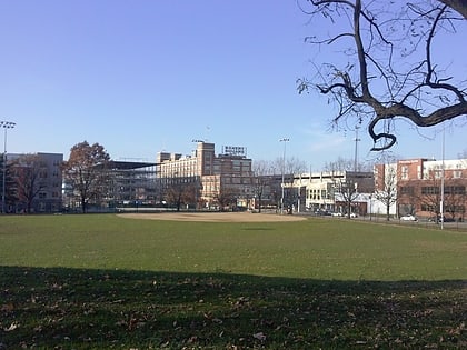
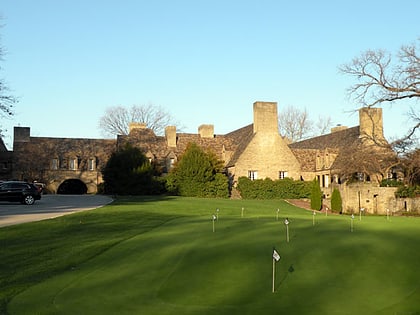
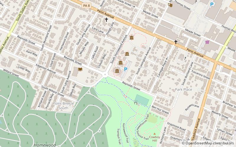
Nearby attractions include: Frick Art & Historical Center, Bakery Square, Longue Vue Club and Golf Course, Pittsburgh Center for the Arts.
Frequently Asked Questions (FAQ)
How to get to East Hills by public transport?
The nearest stations to East Hills:
Bus
Bus
- Wilkinsburg (23 min walk)
- Hamnett (33 min walk)


