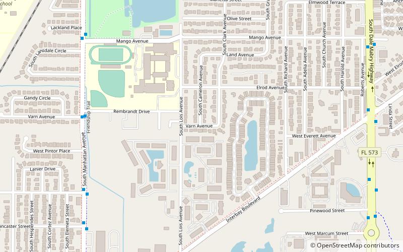
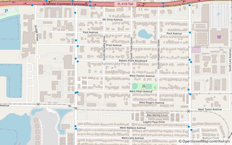
Rembrandt Gardens, Tampa
Map
Facts and practical information
Rembrandt Gardens is a neighborhood within the city limits of Tampa, Florida. As of the 2000 census the neighborhood had a population of 134. The ZIP Code serving the area 33616. ()
Coordinates: 27°52'20"N, 82°30'49"W
Address
Southwest Tampa (Sun Bay South)Tampa
ContactAdd
Social media
Add
Getting there by public transportation
Public transportation stops near this location
- Bus
 Bus
Bus
- Calculate routeManhattan Avenue @ Rembrandt Drive 8 min walk
Day trips

Frequently Asked Questions (FAQ)
How to get to Rembrandt Gardens by public transport?
The nearest stations to Rembrandt Gardens:
Bus
Bus
- Manhattan Avenue @ Rembrandt Drive • Lines: 17 (8 min walk)