Millsmont, Oakland
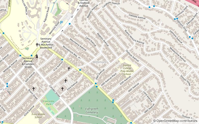
Map
Facts and practical information
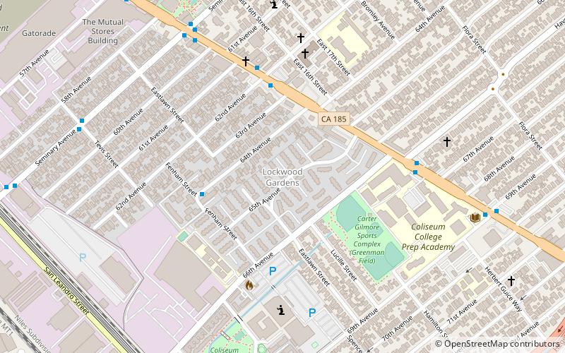
The Millsmont neighborhood located in the foothills of Oakland, California encompasses the area of East Oakland to the south and east of Mills College. Seminary Avenue is considered the northern border, and Edwards Avenue the approximate southern border; MacArthur Boulevard bounds it to the west, and Interstate 580 to the east. It lies at an elevation of 239 feet. ()
Coordinates: 37°46'31"N, 122°10'45"W
Address
Central East Oakland (Millsmont)Oakland
ContactAdd
Social media
Add
Day trips
Millsmont – popular in the area (distance from the attraction)
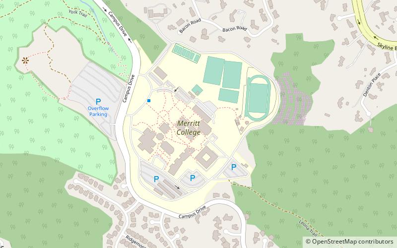
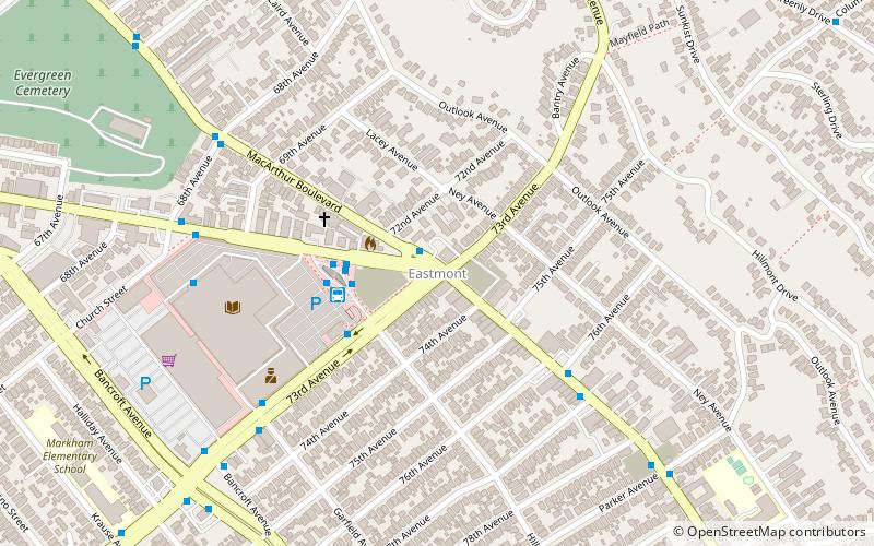
Nearby attractions include: Eastmont Town Center, Evergreen Cemetery, Mills College Art Museum, Mills College.
Frequently Asked Questions (FAQ)
Which popular attractions are close to Millsmont?
Nearby attractions include Evergreen Cemetery, Oakland (7 min walk), William Joseph McInnes Botanic Garden and Campus Arboretum, Oakland (10 min walk), Mills College, Oakland (11 min walk), F. W. Olin Library, Oakland (12 min walk).
How to get to Millsmont by public transport?
The nearest stations to Millsmont:
Bus
Bus
- MacArthur Boulevard & 62nd Avenue • Lines: 57, 805 (3 min walk)


