Old Survivor, Oakland
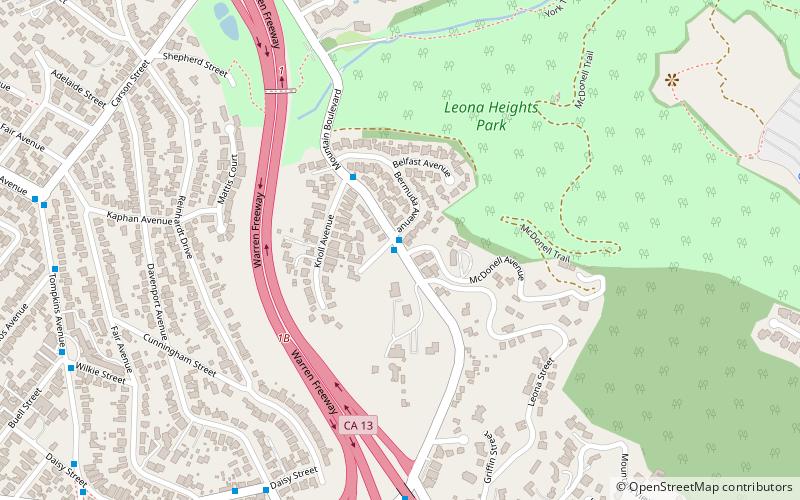
Map
Facts and practical information
Old Survivor, also known as the Grandfather Tree, is the last remaining old-growth coastal redwood of the redwood forest that once populated the Oakland Hills in California. ()
Coordinates: 37°47'34"N, 122°10'29"W
Address
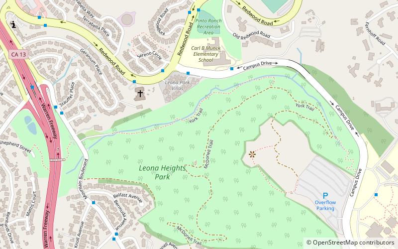
South Hills (Caballo Hills)Oakland
ContactAdd
Social media
Add
Getting there by public transportation
Public transportation stops near this location
- Bus
 Bus
Bus
- Calculate routeCampus Drive & Redwood Road 4 min walk
- Calculate routeRedwood Road & Sereno Circle 4 min walk
- Calculate routeCarl Munck Elementary School 4 min walk
- Calculate routeChurch of the Nazarene 5 min walk
Day trips


Frequently Asked Questions (FAQ)
Which popular attractions are close to Old Survivor?
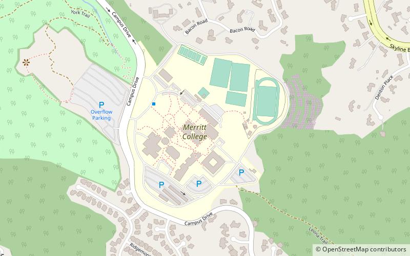
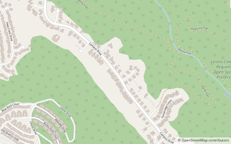
Nearby attractions include Leona Heights, Oakland (9 min walk), Merritt College, Oakland (15 min walk), The Skyline Serpentine Prairie in Redwood Regional Park, Oakland (19 min walk), Mills College Art Museum, Oakland (20 min walk).
How to get to Old Survivor by public transport?
The nearest stations to Old Survivor:
Bus
Bus
- Campus Drive & Redwood Road • Lines: 54 (4 min walk)
- Redwood Road & Sereno Circle • Lines: 54 (4 min walk)