Chamberlayne Industrial Center, Richmond
Map
Facts and practical information
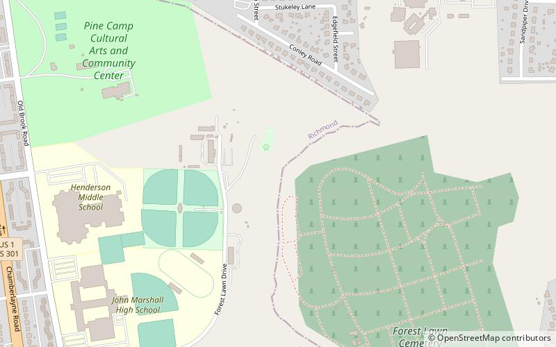
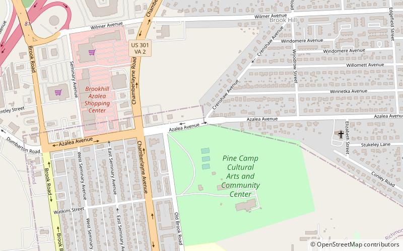
The Chamberlayne Industrial Center, sometimes simply known as Chamberlayne is a heavy industry district within the boundaries of Richmond, Virginia's North Side region. The neighborhood contains a mixture of residential, commercial industrial-zoned areas, but most of the residential and commercial buildings are in the eastern corner of the neighborhood. The neighborhood is named after Chamberlayne Avenue which serves as the spine for the neighborhood. ()
Coordinates: 37°35'51"N, 77°26'27"W
Address
Northside (John Marshall)Richmond
ContactAdd
Social media
Add
Day trips


Frequently Asked Questions (FAQ)
Which popular attractions are close to Chamberlayne Industrial Center?
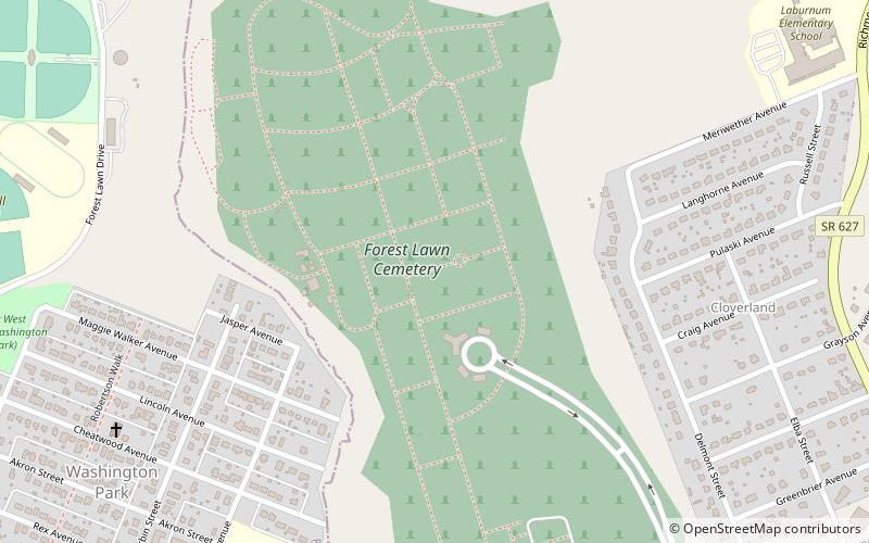
Nearby attractions include Pine Camp Tuberculosis Hospital, Richmond (7 min walk), Forest Lawn Cemetery, Richmond (11 min walk), Chamberlayne Gardens, Richmond (13 min walk), Emek Sholom Holocaust Memorial Cemetery, Richmond (13 min walk).