Park Circle, Baltimore
Map
Map

Facts and practical information
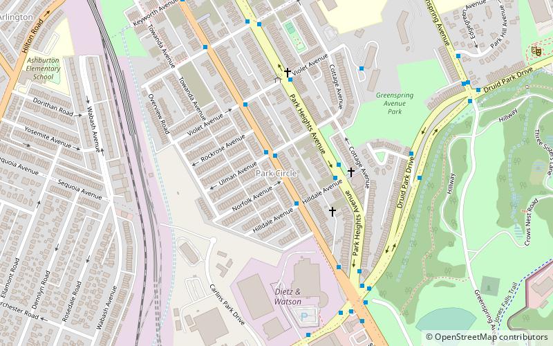
Park Circle Historic District is a national historic district located at Baltimore, Maryland. The district is historically important as an example of an early suburban Jewish neighborhood. Jewish immigrants from Eastern Europe began to settle in the neighborhood, moving from East Baltimore. This set the pattern for the future expansion of Baltimore's Jewish community. ()
Coordinates: 39°19'42"N, 76°39'36"W
Address
Northwestern Baltimore (Park Circle)Baltimore
ContactAdd
Social media
Add
Day trips
Park Circle – popular in the area (distance from the attraction)
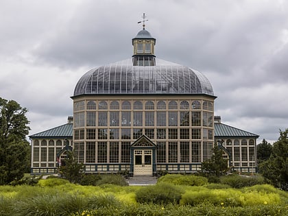
Nearby attractions include: The Maryland Zoo in Baltimore, Mondawmin Mall, Druid Hill Park, Howard Peters Rawlings Conservatory and Botanic Gardens of Baltimore.
Frequently Asked Questions (FAQ)
Which popular attractions are close to Park Circle?
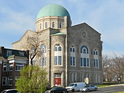
Nearby attractions include Greenspring, Baltimore (16 min walk), The Maryland Zoo in Baltimore, Baltimore (20 min walk), Shaarei Tfiloh Synagogue, Baltimore (21 min walk), Poole and Hunt Company Buildings, Baltimore (21 min walk).
How to get to Park Circle by public transport?
The nearest stations to Park Circle:
Bus
Metro
Light rail
Bus
- Reisterstown Road & Ulman Avenue Northbound • Lines: 83 (1 min walk)
- Park Heights Avenue & Hilldale Avenue Southbound • Lines: 82, 85 (3 min walk)
Metro
- Mondawmin • Lines: M (21 min walk)
- West Coldspring • Lines: M (22 min walk)
Light rail
- Woodberry • Lines: Lr (24 min walk)
- Cold Spring Lane • Lines: Lr (33 min walk)


