Seventh Avenue, Newark
Map

Map

Facts and practical information
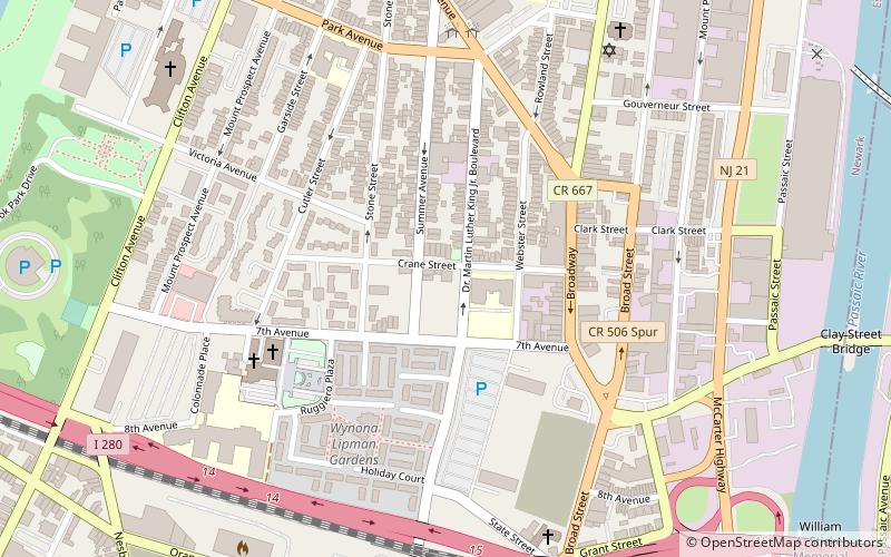
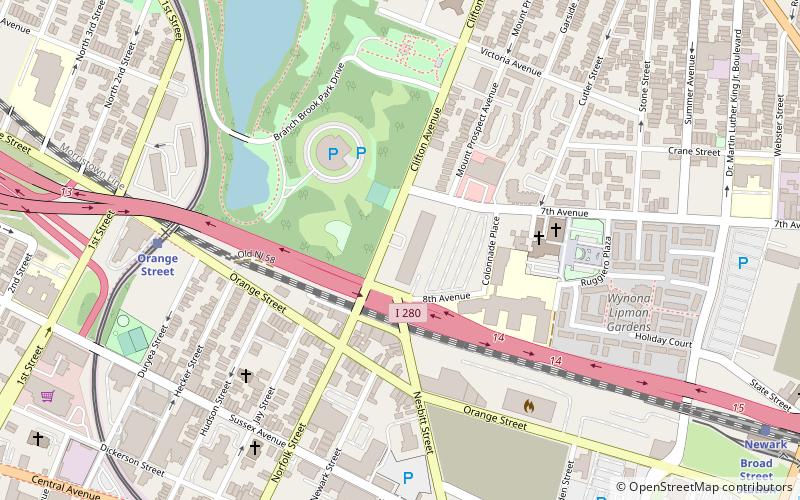
Seventh Avenue, formerly known as the First Ward, is a neighborhood in the city of Newark in Essex County, New Jersey, United States. Settled by Italian immigrants beginning in 1870, the First Ward was once known as Newark's Little Italy. ()
Coordinates: 40°45'7"N, 74°10'23"W
Address
Seventh AvenueNewark
ContactAdd
Social media
Add
Day trips
Seventh Avenue – popular in the area (distance from the attraction)
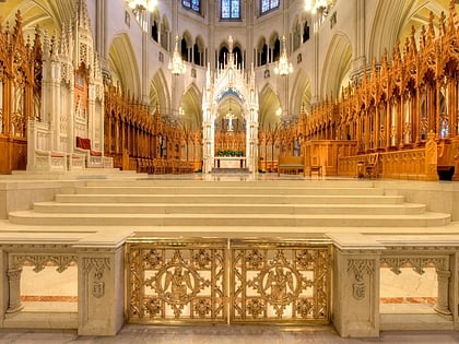
Nearby attractions include: Cathedral Basilica of the Sacred Heart, New Jersey Performing Arts Center, The Newark Museum of Art, Bridge Street Bridge.
Frequently Asked Questions (FAQ)
Which popular attractions are close to Seventh Avenue?
Nearby attractions include St. Lucy's Church, Newark (6 min walk), House of Prayer Episcopal Church and Rectory, Newark (8 min walk), Jewish Museum of New Jersey, Newark (8 min walk), Wars of America, Newark (8 min walk).
How to get to Seventh Avenue by public transport?
The nearest stations to Seventh Avenue:
Train
Light rail
Bus
Metro
Train
- Newark Broad Street (8 min walk)
Light rail
- Broad Street Station • Lines: Nlr (9 min walk)
- Riverfront Stadium • Lines: Nlr (13 min walk)
Bus
- Broad St & Market St • Lines: 62 (29 min walk)
Metro
- Harrison • Lines: Nwk–Wtc (32 min walk)


