Palatka Heights, Palatka
Map

Map

Facts and practical information
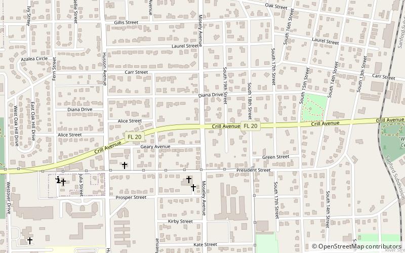
Palatka Heights is a neighborhood southwest of downtown Palatka, Florida in the United States. The area is bordered by St. Johns Avenue to the north, Westover Drive to the west, and the Ravine Gardens State Park to the south. The neighborhood houses the Palatka Water Works, which provided citizens with water from 1886 until the end of the 1980s. The City of Palatka Heights was incorporated July 23, 1886 and existed until its annexation by Palatka in 1921. ()
Coordinates: 29°38'36"N, 81°38'59"W
Address
Palatka
ContactAdd
Social media
Add
Day trips
Palatka Heights – popular in the area (distance from the attraction)
Nearby attractions include: Palatka Golf Club, Ravine Gardens State Park, Larimer Arts Center, St. Mark's Episcopal Church.
Frequently Asked Questions (FAQ)
Which popular attractions are close to Palatka Heights?
Nearby attractions include Ravine Gardens State Park, Palatka (19 min walk), Palatka South Historic District, Palatka (23 min walk).
How to get to Palatka Heights by public transport?
The nearest stations to Palatka Heights:
Train
Bus
Train
- Palatka (19 min walk)
Bus
- Greyhound (19 min walk)
- The Ride Solution (19 min walk)


