Downtown Palatka, Palatka
Map

Gallery

Facts and practical information
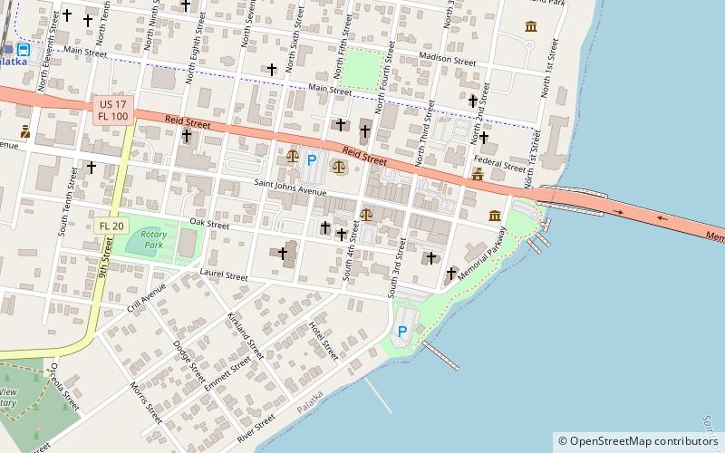
Downtown Palatka is the central business district of Palatka, Florida. According to the Palatka Community Redevelopment Agency, the district is bounded by Main Street to the north, Laural Street to the south, the St. Johns River to the east, and Eleventh Street to the west, Historical Fort Shannon was located at the east end of downtown on the river, near what is today City Hall. Area transportation is conducted by Ride Solution and connects downtown passengers to other core areas in Putnam County. ()
Coordinates: 29°38'47"N, 81°37'56"W
Day trips
Downtown Palatka – popular in the area (distance from the attraction)
Nearby attractions include: Palatka Golf Club, Bronson-Mulholland House, Ravine Gardens State Park, Larimer Arts Center.
Frequently Asked Questions (FAQ)
Which popular attractions are close to Downtown Palatka?
Nearby attractions include Larimer Arts Center, Palatka (4 min walk), Palatka South Historic District, Palatka (6 min walk), St. Mark's Episcopal Church, Palatka (6 min walk), Palatka North Historic District, Palatka (8 min walk).
How to get to Downtown Palatka by public transport?
The nearest stations to Downtown Palatka:
Bus
Train
Bus
- The Ride Solution (14 min walk)
- Greyhound (14 min walk)
Train
- Palatka (15 min walk)


