Roslyn Place, Pittsburgh
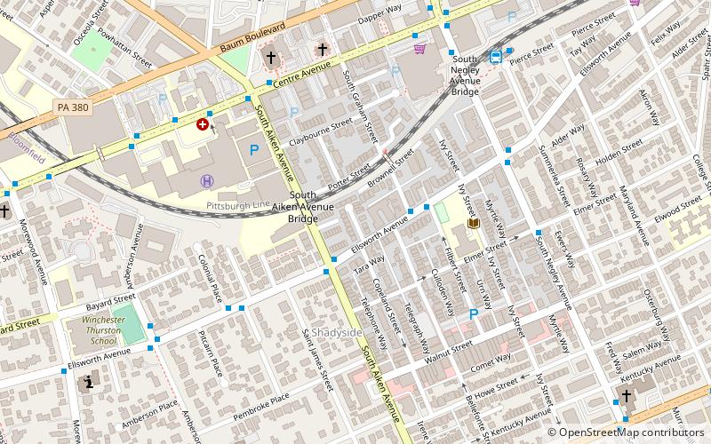
Map

Map

Facts and practical information
Roslyn Place is a small wooden-paved cul-de-sac located in the Shadyside neighborhood of Pittsburgh, Pennsylvania. The street was built in 1914 in the Nicolson Pavement style and is home to the historic Roslyn Place district. ()
Coordinates: 40°27'13"N, 79°56'10"W
Address
East End (Shadyside)Pittsburgh
ContactAdd
Social media
Add
Day trips
Roslyn Place – popular in the area (distance from the attraction)
Nearby attractions include: Carnegie Museum of Art, Bob O'Connor Golf Course at Schenley Park, Carnegie Museums of Pittsburgh, Bakery Square.
Frequently Asked Questions (FAQ)
Which popular attractions are close to Roslyn Place?
Nearby attractions include Roslyn Place, Pittsburgh (1 min walk), Ellsworth Avenue, Pittsburgh (2 min walk), Oakland, Pittsburgh (5 min walk), Shadyside, Pittsburgh (6 min walk).
How to get to Roslyn Place by public transport?
The nearest stations to Roslyn Place:
Bus
Bus
- Negley (8 min walk)
- Fifth Avenue at Aiken Avenue • Lines: 71B (10 min walk)


