Natchez Bluffs and Under-the-Hill Historic District, Natchez
Map
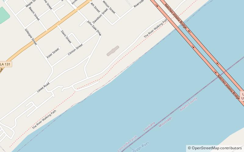
Map

Facts and practical information
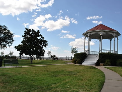
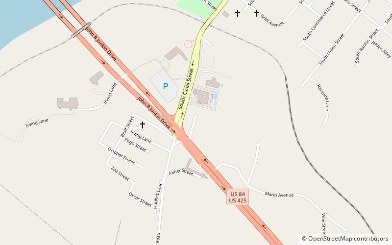
The Natchez Bluffs and Under-the-Hill Historic District is a 75-acre historic district that was listed on the U.S. National Register of Historic Places in 1972. It is roughly bounded by S. Canal St. Broadway, and the Mississippi River. ()
Coordinates: 31°33'32"N, 91°25'36"W
Address
Natchez
ContactAdd
Social media
Add
Day trips
Natchez Bluffs and Under-the-Hill Historic District – popular in the area (distance from the attraction)
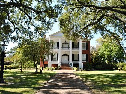
Nearby attractions include: Rosalie Mansion, Natchez–Vidalia Bridge, William Ailes House, Richmond.
