San Clemente State Beach, San Clemente
Map

Map

Facts and practical information
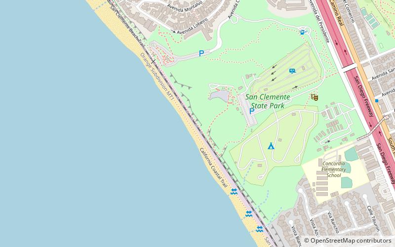
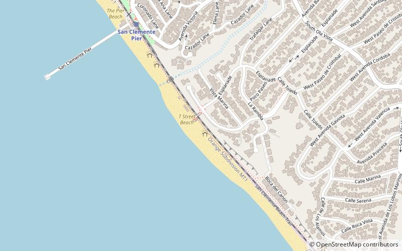
San Clemente State Beach is a public beach located in the south end of the city of San Clemente, California, United States. Located halfway between Los Angeles and San Diego, it has been the most popular beach in the state since 1937. ()
Coordinates: 33°24'11"N, 117°36'17"W
Address
San ClementeSan Clemente
ContactAdd
Social media
Add
Day trips
San Clemente State Beach – popular in the area (distance from the attraction)
Nearby attractions include: Casa Romantica, Dana Wharf Sportfishing & Whale Watching, San Clemente Municipal Golf Course, Spanish missions in California.
Frequently Asked Questions (FAQ)
How to get to San Clemente State Beach by public transport?
The nearest stations to San Clemente State Beach:
Train
Train
- San Clemente Pier (37 min walk)


