Flatbush Avenue, Sea Gate
Map
Facts and practical information
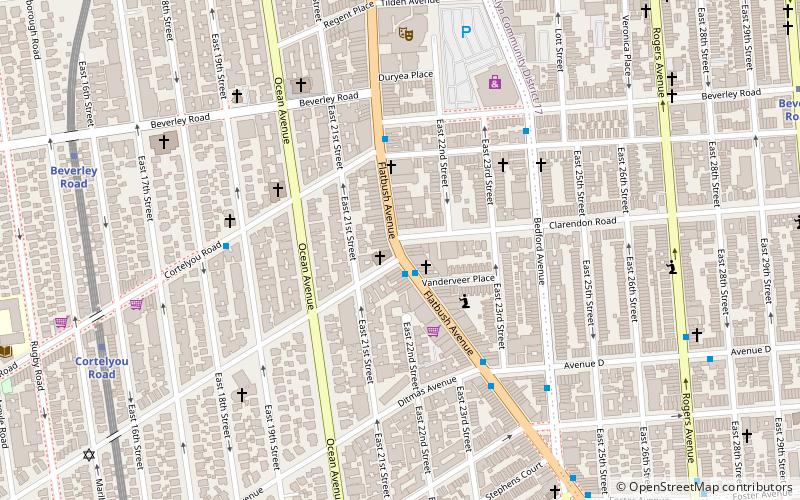
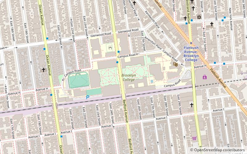
Flatbush Avenue is a major avenue in the New York City Borough of Brooklyn. It runs from the Manhattan Bridge south-southeastward to Jamaica Bay, where it joins the Marine Parkway–Gil Hodges Memorial Bridge, which connects Brooklyn to the Rockaway Peninsula in Queens. The north end was extended from Fulton Street to the Manhattan Bridge as "Flatbush Avenue Extension". ()
Address
Central Brooklyn (Flatbush)Sea Gate
ContactAdd
Social media
Add
Getting there by public transportation
Public transportation stops near this location
- Metro
 Metro
Metro
- Calculate routeCortelyou Road 9 min walk
- Calculate routeBeverley Road 10 min walk
Day trips


Frequently Asked Questions (FAQ)
Which popular attractions are close to Flatbush Avenue?
Nearby attractions include Flatbush, Sea Gate (6 min walk), Victorian Flatbush, Sea Gate (6 min walk), East River State Park, New York City (10 min walk), Beverley Squares, Sea Gate (11 min walk).
How to get to Flatbush Avenue by public transport?
The nearest stations to Flatbush Avenue:
Metro
Metro
- Cortelyou Road • Lines: Q (9 min walk)
- Beverley Road • Lines: Q (10 min walk)