Jamaica Bay, New York City
Map
Gallery
Facts and practical information
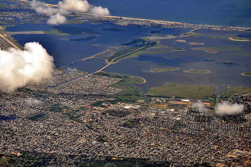
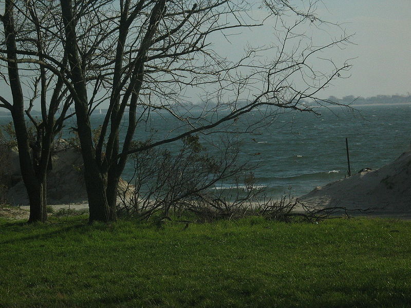
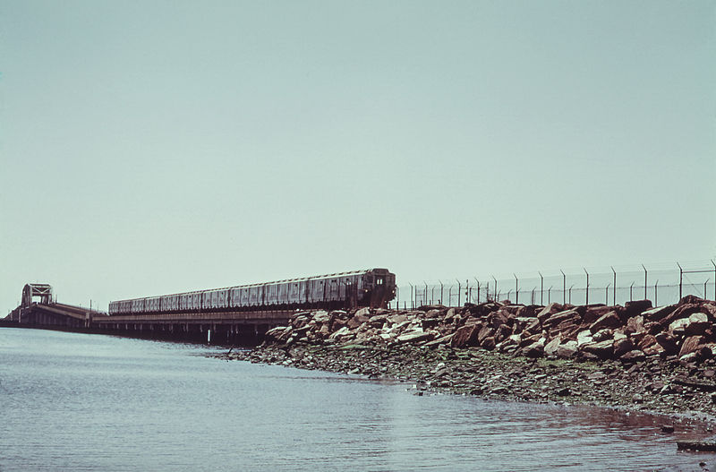
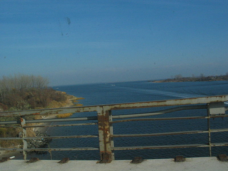
Jamaica Bay is an estuary on the southern portion of the western tip of Long Island, in the U.S. state of New York. The estuary is partially man-made, and partially natural. The bay connects with Lower New York Bay to the west, through Rockaway Inlet, and is the westernmost of the coastal lagoons on the south shore of Long Island. Politically, it is primarily divided between the boroughs of Brooklyn and Queens in New York City, with a small part touching Nassau County. ()
Day trips
Jamaica Bay – popular in the area (distance from the attraction)
Nearby attractions include: Gateway Center, Rockaway Playland, Aviator Sports and Events Center, Tribute Park.
Frequently Asked Questions (FAQ)
Which popular attractions are close to Jamaica Bay?
Nearby attractions include Broad Channel, New York City (16 min walk), Jamaica Bay Wildlife Refuge, New York City (16 min walk).
How to get to Jamaica Bay by public transport?
The nearest stations to Jamaica Bay:
Bus
Bus
- Cross Bay Boulevard & Wildlife Refuge • Lines: Q52 Sbs, Q53 Sbs (25 min walk)



 Subway
 Manhattan Buses
