Montpelier School District, Montpelier
Map
Facts and practical information
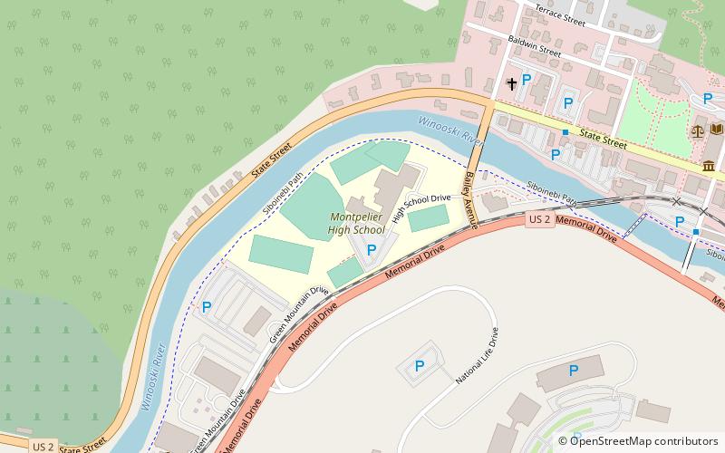
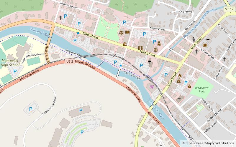
Montpelier Roxbury Public Schools is a K-12 school district in Montpelier, Vermont, USA which serves as the governing body of Union Elementary School, Roxbury Village School, Main Street Middle School, and Montpelier High School. Its business office is located in Montpelier High School. Its serves students in some towns such as Calais, Adamant, Berlin, and East Montpelier, offering Main Street Middle School and Montpelier High School as an alternative to U-32 Junior/Senior High School. ()
Coordinates: 44°15'36"N, 72°35'16"W
Address
Northfield StreetMontpelier
ContactAdd
Social media
Add
Getting there by public transportation
Public transportation stops near this location
- Train
 Train
Train
- Calculate routeMontpelier 25 min walk
Day trips


Frequently Asked Questions (FAQ)
Which popular attractions are close to Montpelier School District?
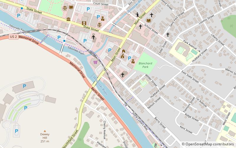
Nearby attractions include Taylor Street Bridge, Montpelier (10 min walk), The Pavilion, Montpelier (11 min walk), Vermont State House, Montpelier (12 min walk), Christ Episcopal Church, Montpelier (13 min walk).
How to get to Montpelier School District by public transport?
The nearest stations to Montpelier School District:
Train
Train
- Montpelier (25 min walk)