Makonikey, Martha's Vineyard
Map

Map

Facts and practical information
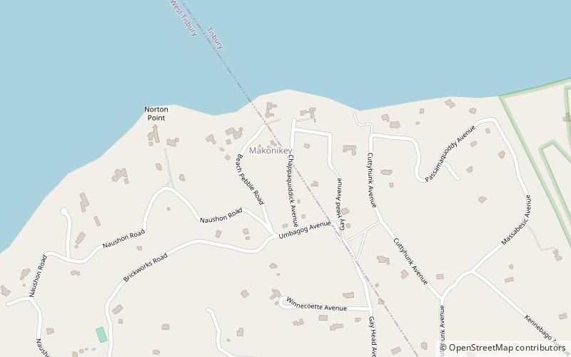
Makonikey is a rural neighborhood on Martha's Vineyard, Massachusetts, that lies on the border of Tisbury and West Tisbury. The Tisbury section is called Lower Makonikey, and the West Tisbury section is called Upper Makonikey. The neighborhood lies between Lambert's Cove Road and the Vineyard Sound, near Makonikey Point. It is a 5- to 10-minute drive from the center of Vineyard Haven. ()
Coordinates: 41°27'33"N, 70°39'18"W
Address
West TisburyMartha's Vineyard
ContactAdd
Social media
Add
Day trips
Makonikey – popular in the area (distance from the attraction)
Nearby attractions include: Flying Horses Carousel, Nobska Light, Farm Neck Golf Club, Woods Hole Science Aquarium.


