Lockeland Springs, Nashville

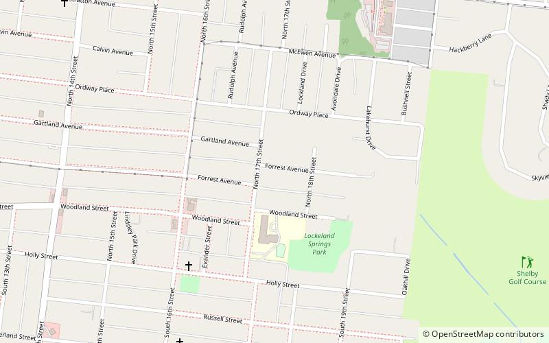
Map
Facts and practical information
The Lockeland Springs historic neighborhood is a turn-of-the-20th-century streetcar suburb two miles northeast of downtown Nashville, Tennessee in East Nashville. In 1786, this land was granted by the State of North Carolina to Daniel Williams, in payment for service in the Revolutionary War. The first house in the area was the log cabin Williams built on the site of the present Lockeland School. ()
Coordinates: 36°10'41"N, 86°44'20"W
Address
East Nashville (Lockeland Springs)Nashville
ContactAdd
Social media
Add
Day trips
Lockeland Springs – popular in the area (distance from the attraction)
Nearby attractions include: Shelby Park, Shelby Bottoms Nature Center, Holly Street Fire Hall, East Nashville.
Frequently Asked Questions (FAQ)
Which popular attractions are close to Lockeland Springs?
Nearby attractions include Holly Street Fire Hall, Nashville (7 min walk), Shelby Park, Nashville (20 min walk), East Nashville, Nashville (22 min walk).


