Shelby Park, Nashville
Map

Map

Facts and practical information
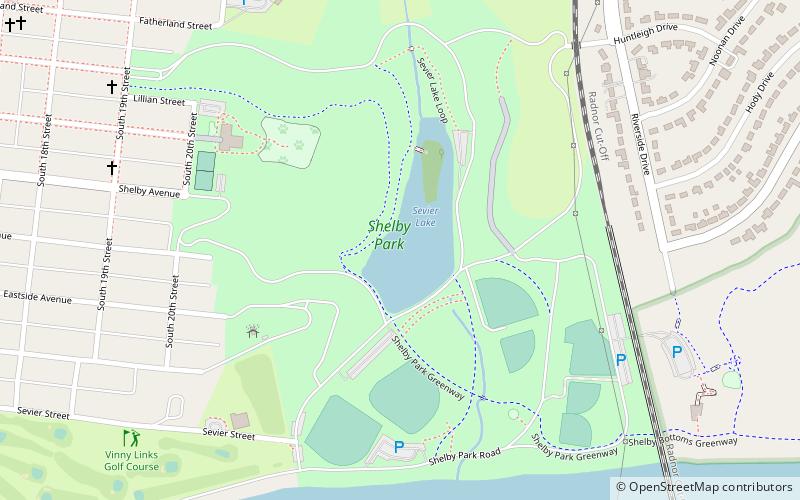
Shelby Park is a large urban park located approximately three miles east of downtown Nashville along the Cumberland River. The park includes playgrounds, a dog park, baseball fields, two golf courses, and a community center. The park is located between the Lockeland Springs, Shelby Hills, and Rolling Acres neighborhoods. Until the 2011 opening of E. S. Rose Park, the Belmont Bruins baseball team played a portion of its home games at the park. The park includes over 361 acres of land. ()
Elevation: 407 ft a.s.l.Coordinates: 36°10'8"N, 86°43'53"W
Address
East NashvilleNashville
ContactAdd
Social media
Add
Day trips
Shelby Park – popular in the area (distance from the attraction)
Nearby attractions include: Lebanon Road Stone Arch Bridge, Shelby Bottoms Nature Center, Holly Street Fire Hall, Lockeland Springs.
Frequently Asked Questions (FAQ)
Which popular attractions are close to Shelby Park?
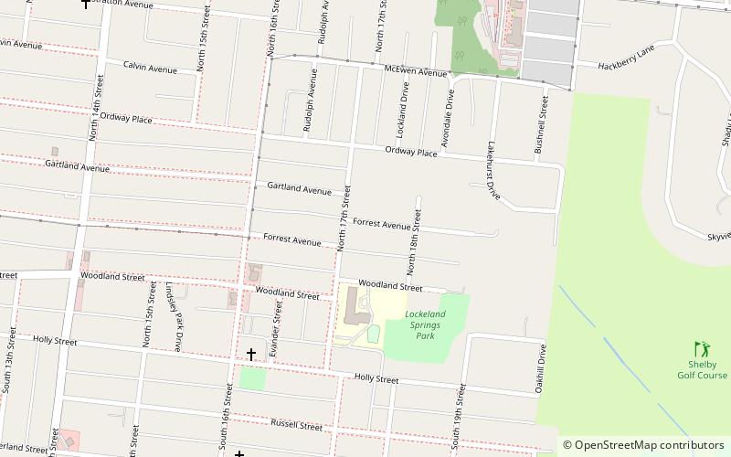
Nearby attractions include Shelby Bottoms Nature Center, Nashville (11 min walk), Holly Street Fire Hall, Nashville (19 min walk), Lockeland Springs, Nashville (20 min walk).


