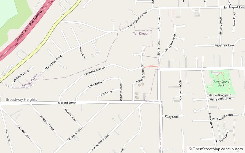
Broadway Heights, San Diego
Map
Facts and practical information
Broadway Heights is a small community in the southeastern section of the city of San Diego. It is bordered on the north, east, and west by Lemon Grove, and on the south by Encanto and Mallard Street. The predominantly African-American community has 629 residents within its seven blocks. Weston Street was renamed to Martin Luther King Jr. Way due to a youth campaign, marking the first time a street in San Diego was named after him. ()
Coordinates: 32°43'52"N, 117°3'7"W
Address
Lemon GroveSan Diego
ContactAdd
Social media
Add
Getting there by public transportation
Public transportation stops near this location
- Light rail
 Light rail
- Calculate routeMassachusetts Avenue 23 min walk
Day trips

Frequently Asked Questions (FAQ)
How to get to Broadway Heights by public transport?
The nearest stations to Broadway Heights:
Light rail
Light rail
- Massachusetts Avenue • Lines: 520 (23 min walk)