South Roanoke, Roanoke
Map

Map

Facts and practical information
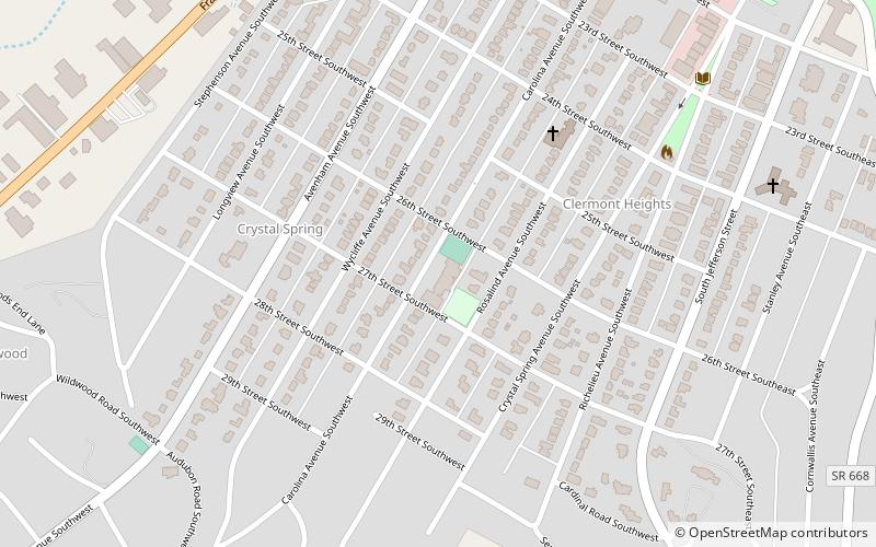
South Roanoke is a neighborhood located in southeast Roanoke, Virginia, surrounded roughly by the Roanoke River to the north and Mill Mountain to the east, centered on Crystal Spring Avenue. It borders the neighborhoods of Southern Hills on the south, South Jefferson on the north, and Mill Mountain on the east and Franklin-Colonial on the west. ()
Coordinates: 37°14'41"N, 79°57'8"W
Address
South RoanokeRoanoke
ContactAdd
Social media
Add
Day trips
South Roanoke – popular in the area (distance from the attraction)
Nearby attractions include: Roanoke Star, Mill Mountain Zoo, Evergreen Burial Park, South Jefferson.
Frequently Asked Questions (FAQ)
Which popular attractions are close to South Roanoke?
Nearby attractions include Franklin-Colonial, Roanoke (14 min walk), South Jefferson, Roanoke (20 min walk), Mill Mountain Zoo, Roanoke (23 min walk).


