Franklin-Colonial, Roanoke

Map
Facts and practical information
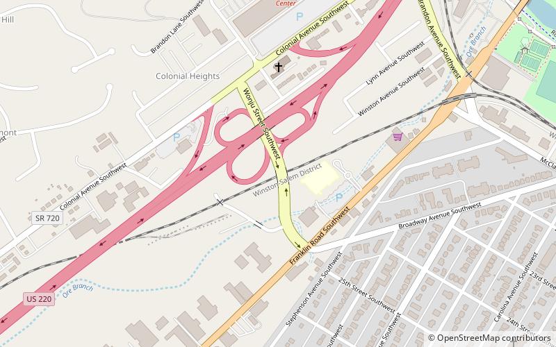
Franklin-Colonial is a Roanoke, Virginia neighborhood located in southwest Roanoke that is bisected by the three primary arterials of Franklin Road, the Roy L. Webber Expressway and Colonial Avenue. It borders the neighborhoods of Wasena and South Jefferson to the north, Grandin Court and Raleigh Court to the west and South Roanoke to the east. The southern border is shared with Roanoke County. As of the 2000 U.S. Census, Franklin-Colonial had a total population of 2,860. ()
Coordinates: 37°15'4"N, 79°57'26"W
Address
Franklin - ColonialRoanoke
ContactAdd
Social media
Add
Day trips
Franklin-Colonial – popular in the area (distance from the attraction)
Nearby attractions include: Grandin Theatre, Beth Israel Synagogue, Mill Mountain Zoo, St. John's Episcopal Church.
Frequently Asked Questions (FAQ)
Which popular attractions are close to Franklin-Colonial?
Nearby attractions include South Roanoke, Roanoke (14 min walk), South Jefferson, Roanoke (20 min walk), Virginia Western Community College, Roanoke (24 min walk).


