Sylvan Hills, Atlanta

Map
Facts and practical information
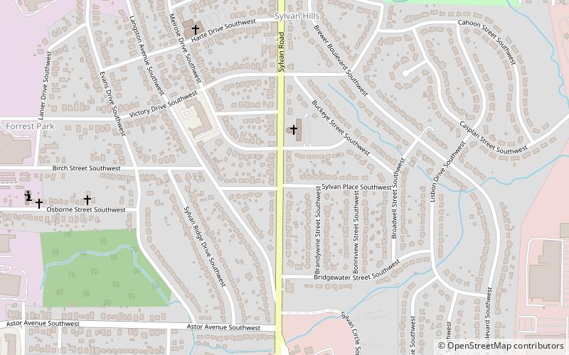
Sylvan Hills is a historic neighborhood in southwest Atlanta, Georgia, United States. ()
Coordinates: 33°42'19"N, 84°25'5"W
Day trips
Sylvan Hills – popular in the area (distance from the attraction)
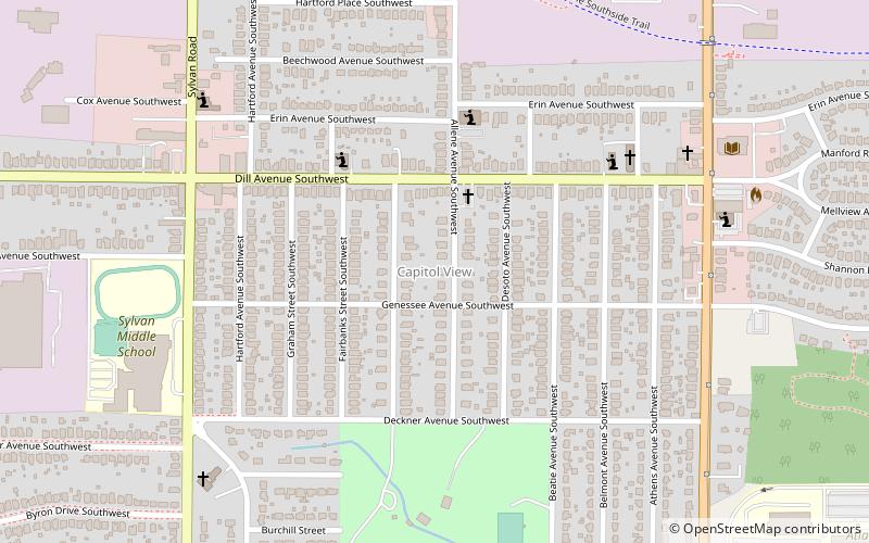
Nearby attractions include: Perkerson Park, Capitol View, Stewart-Lakewood Center, Capitol View Manor.
Frequently Asked Questions (FAQ)
Which popular attractions are close to Sylvan Hills?
Nearby attractions include Perkerson Park, Atlanta (14 min walk), Capitol View, Atlanta (22 min walk).
How to get to Sylvan Hills by public transport?
The nearest stations to Sylvan Hills:
Metro
Metro
- Lakewood/Fort McPherson • Lines: Gold, Red (19 min walk)
- Oakland City • Lines: Gold, Red (23 min walk)


