Capitol View, Atlanta
Map
Facts and practical information
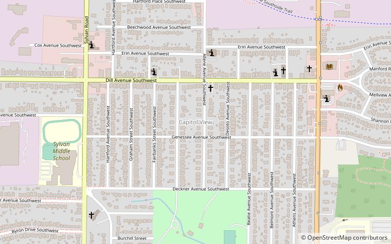
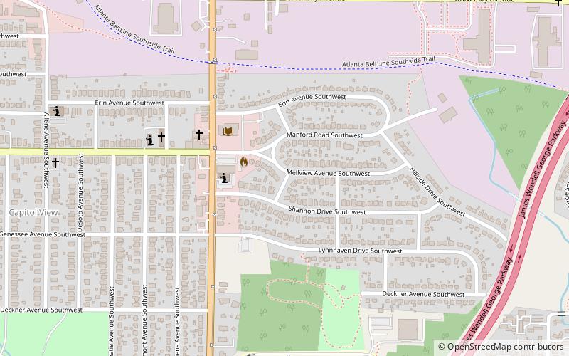
Capitol View is an in-town Atlanta neighborhood 2.5 miles from downtown Atlanta, Georgia that was named for its excellent view of the Georgia State Capitol building. Its boundaries include Metropolitan Parkway to the east, Lee Street to the west, and the Beltline to the north. On the south, the border follows Arden Street, Deckner Avenue, and Perkerson Park. Its central location is only minutes away from Atlanta Downtown Atlanta, Midtown Atlanta, Buckhead, College Park, East Point, Hartsfield-Jackson Atlanta International Airport, and major highways and interstates such as the Downtown Connector/I-75/I-85, I-20, and Metropolitan Parkway. ()
Coordinates: 33°43'0"N, 84°24'48"W
Address
Southside (Capitol View)Atlanta
ContactAdd
Social media
Add
Getting there by public transportation
Public transportation stops near this location
- Metro
 Metro
Metro
- Calculate routeOakland City 18 min walk
- Calculate routeLakewood/Fort McPherson 38 min walk
Day trips


Frequently Asked Questions (FAQ)
Which popular attractions are close to Capitol View?
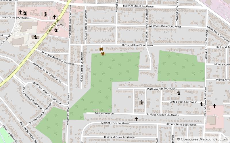
Nearby attractions include Perkerson Park, Atlanta (10 min walk), Capitol View Manor, Atlanta (12 min walk), Atlanta State Farmers' Market, Atlanta (18 min walk), Evangeline Booth College, Atlanta (21 min walk).
How to get to Capitol View by public transport?
The nearest stations to Capitol View:
Metro
Metro
- Oakland City • Lines: Gold, Red (18 min walk)
- Lakewood/Fort McPherson • Lines: Gold, Red (38 min walk)