Madonna Acres Historic District, Raleigh
Map

Map

Facts and practical information
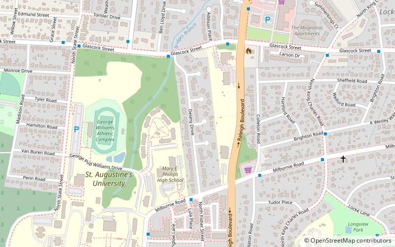
Madonna Acres Historic District is a historic post-World War II neighborhood and national historic district located 1+1⁄2 miles east of downtown Raleigh, North Carolina. The district encompasses 36 contributing buildings in Raleigh's first subdivision developed by an African American for African Americans. It includes a collection of Split-level and Ranch-style houses constructed of brick with accent walls of stone veneer or wood. A number of the houses feature carports. ()
Area: 13 acres (0.0203 mi²)Coordinates: 35°47'24"N, 78°36'54"W
Address
North CentralRaleigh
ContactAdd
Social media
Add
Day trips
Madonna Acres Historic District – popular in the area (distance from the attraction)
Nearby attractions include: City Market, The Pour House Music Hall, Mordecai House, North Carolina Executive Mansion.
Frequently Asked Questions (FAQ)
Which popular attractions are close to Madonna Acres Historic District?
Nearby attractions include Capitol Heights Historic District, Raleigh (11 min walk), Oakwood Dog Park, Raleigh (13 min walk), Historic Oakwood, Raleigh (16 min walk), Historic Oakwood Cemetery, Raleigh (16 min walk).
How to get to Madonna Acres Historic District by public transport?
The nearest stations to Madonna Acres Historic District:
Bus
Bus
- Glascock St at Delany Dr • Lines: 3 (5 min walk)
- Milburnie Rd at Fisher St • Lines: 10 (5 min walk)


