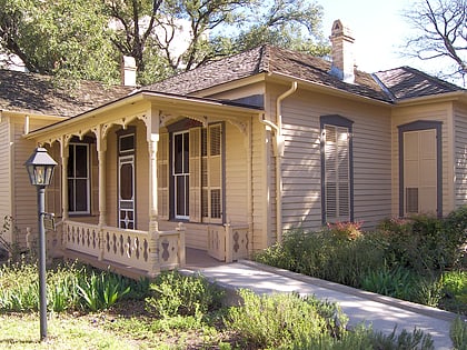
Greater Austin, Austin
Map
Gallery

Facts and practical information
The Austin–Round Rock-Georgetown Metropolitan Statistical Area is a five-county metropolitan area in the U.S. state of Texas, as defined by the Office of Management and Budget. The metropolitan area is situated in Central Texas on the western edge of the American South and on the eastern edge of the American Southwest, and borders Greater San Antonio to the south. ()
Address
Central Austin (Downtown Austin)Austin
ContactAdd
Social media
Add
Day trips
Greater Austin – popular in the area (distance from the attraction)
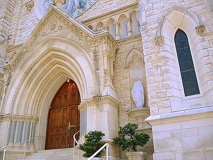
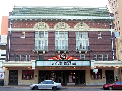
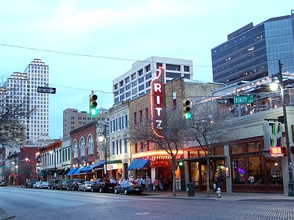
Nearby attractions include: Mexic-Arte Museum, Cathedral of Saint Mary, Paramount Theatre, Ritz.
Frequently Asked Questions (FAQ)
Which popular attractions are close to Greater Austin?
Nearby attractions include Mexic-Arte Museum, Austin (1 min walk), Congress Avenue Historic District, Austin (2 min walk), Sixth Street, Austin (3 min walk), O. Henry Hall, Austin (3 min walk).
How to get to Greater Austin by public transport?
The nearest stations to Greater Austin:
Train
Bus
Train
- Downtown (9 min walk)
- Austin (22 min walk)
Bus
- 5th/Rio Grande • Lines: 663 (12 min walk)
- Megabus (19 min walk)


