Wynnefield, Philadelphia
Map
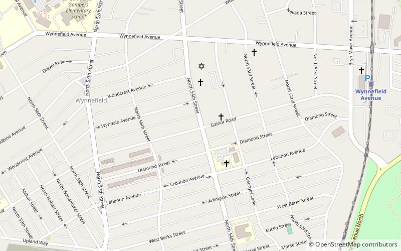
Map

Facts and practical information
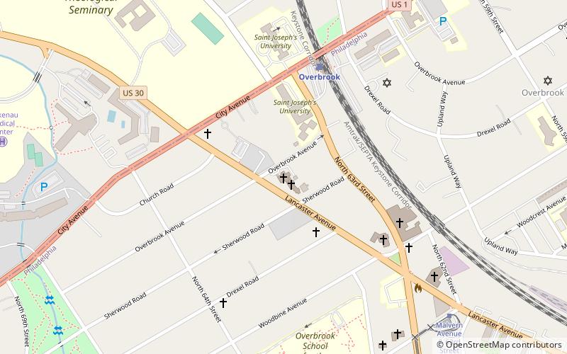
Wynnefield is a diverse middle-class neighborhood in West Philadelphia. Its borders are 53rd Street at Jefferson to the south, Philadelphia's Fairmount Park to the east, City Avenue to the north and the Amtrak Main Line tracks to the west. ()
Coordinates: 39°59'20"N, 75°13'59"W
Address
West Philadelphia (Wynnefield)Philadelphia
ContactAdd
Social media
Add
Day trips
Wynnefield – popular in the area (distance from the attraction)
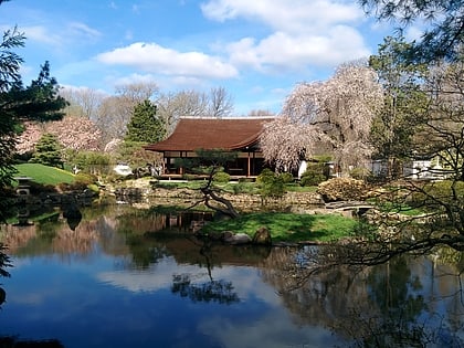
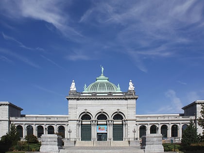
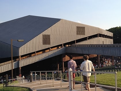
Nearby attractions include: Shofuso Japanese House and Garden, Memorial Hall, African Episcopal Church of St. Thomas, Mann Center for the Performing Arts.
Frequently Asked Questions (FAQ)
Which popular attractions are close to Wynnefield?
Nearby attractions include Mastery Charter School Mann Elementary, Philadelphia (7 min walk), Wynnestay, Philadelphia (10 min walk), Dimner Beeber Middle School, Philadelphia (14 min walk), Bawa Muhaiyaddeen Fellowship, Philadelphia (14 min walk).
How to get to Wynnefield by public transport?
The nearest stations to Wynnefield:
Train
Tram
Bus
Train
- Wynnefield Avenue (11 min walk)
- Bala (23 min walk)
Tram
- Malvern Avenue & 63rd Street • Lines: 10 (20 min walk)
- Lansdowne Avenue & 56th Street • Lines: 10 (22 min walk)
Bus
- Malvern Avenue & 63rd Street (20 min walk)

 SEPTA Regional Rail